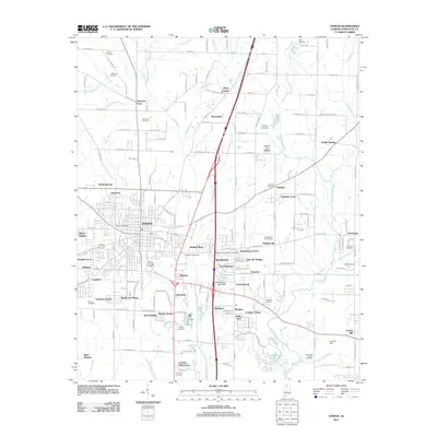
2011 Map of Athens
USGS Topo · Published 2011About this map
The city of Athens serves as the focal point of this Limestone County survey, revealing a landscape defined by its creek systems and residential expansion. Situated upon the Interior Low Plateau, the area is drained by Swan Creek and Piney Creek, which frame the many neighborhoods and subdivisions emerging around the municipal center, including Meadowbrook, Lakewood, and Brookwood. The map provides significant genealogical value through its documentation of numerous burial sites, ranging from the large Roselawn Cemetery to the historically significant Slave Cemetery in the northeast.
Find a feature on this map
129 named features on this map. Tap any name to fly to it.
Don’t see what you’re looking for? This feature index may not catch every label — zoom into the map to look around manually.
Map Details
Editions of this 2011 Athens Map
This is the sole edition of this map. No revisions or reprints were ever made.
Other maps of this area

1888 · Huntsville
USGS Topo · 1:125,000

1892 · Huntsville
USGS Topo · 1:125,000

1935 · Athens
USGS Topo · 1:24,000

1936 · Capshaw
USGS Topo · 1:24,000

1936 · Stewart Cross Roads
USGS Topo · 1:24,000

1936 · Elkmont
USGS Topo · 1:24,000

1936 · Ripley
USGS Topo · 1:24,000

1936 · Ardmore
USGS Topo · 1:24,000

1936 · Tanner
USGS Topo · 1:24,000

1936 · Greenbrier
USGS Topo · 1:24,000