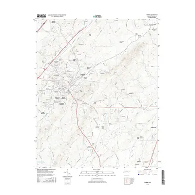
2016 Map of Athens
USGS Topo · Published 2016About this map
Athens serves as the focal point for this survey of eastern Tennessee, showcasing a landscape of residential growth and long-established agricultural corridors. The campus of Tennessee Wesleyan Coll and the concentrated residential areas of Bohannon Addition and Housley Addition reflect the community's mid-century expansion. The surrounding terrain is defined by prominent elevations such as Niota Ridge and Ingleside Hill, with numerous hollows like Johns River Hollow carved by the drainage of Oostanaula Cr.
Find a feature on this map
83 named features on this map. Tap any name to fly to it.
Don’t see what you’re looking for? This feature index may not catch every label — zoom into the map to look around manually.
Map Details
Editions of this 2016 Athens Map
This is the sole edition of this map. No revisions or reprints were ever made.
Other maps of this area

1886 · Cleveland
USGS Topo · 1:125,000

1887 · Kingston
USGS Topo · 1:125,000

1891 · Kingston
USGS Topo · 1:125,000

1892 · Cleveland
USGS Topo · 1:125,000

1893 · Murphy
USGS Topo · 1:125,000

1893 · Kingston
USGS Topo · 1:125,000

1895 · Cleveland
USGS Topo · 1:125,000

1895 · Loudon
USGS Topo · 1:125,000

1901 · Cleveland
USGS Topo · 1:125,000

1914 · Murphy
USGS Topo · 1:125,000