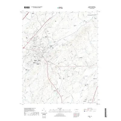
2019 Map of Athens
USGS Topo · Published 2019About this map
Athens serves as the central hub in this McMinn County landscape, where the urban layout of the city meets the agricultural valleys and ridges of eastern Tennessee. The presence of Tennessee Wesleyan Coll in the heart of the city indicates a long-standing educational foundation, while the surrounding neighborhoods like Bohannon Addition and Lockmiller Addition show the planned expansion of the community. To the south, the McMinn County Airport and McMinn Memory Gardens anchor the space between the city and the nearby towns of Englewood and Etowah.
Find a feature on this map
246 named features on this map. Tap any name to fly to it.
Don’t see what you’re looking for? This feature index may not catch every label — zoom into the map to look around manually.
Map Details
Editions of this 2019 Athens Map
This is the sole edition of this map. No revisions or reprints were ever made.
Other maps of this area

1886 · Cleveland
USGS Topo · 1:125,000

1887 · Kingston
USGS Topo · 1:125,000

1891 · Kingston
USGS Topo · 1:125,000

1892 · Cleveland
USGS Topo · 1:125,000

1893 · Murphy
USGS Topo · 1:125,000

1893 · Kingston
USGS Topo · 1:125,000

1895 · Cleveland
USGS Topo · 1:125,000

1895 · Loudon
USGS Topo · 1:125,000

1901 · Cleveland
USGS Topo · 1:125,000

1914 · Murphy
USGS Topo · 1:125,000