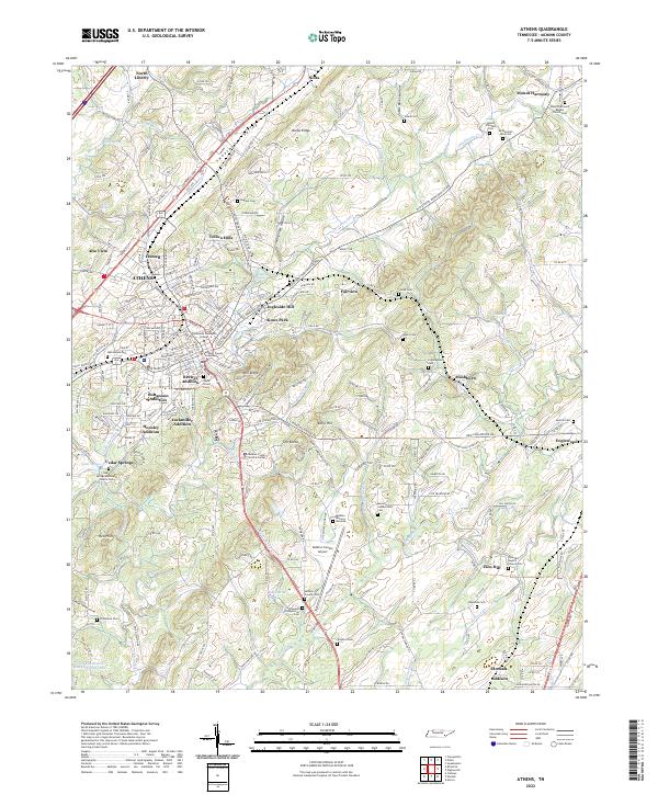
2022 Map of Athens
USGS Topo · Published 2022About this map
Athens serves as the focal point of this McMinn County landscape, where historical expansion is evident in distinct residential developments like Bohannon Addition, Brewer Addition, and Lockmiller Addition. The town's institutional character is anchored by Tennessee Wesleyan College and the McMinn County Courthouse, while the surrounding terrain is defined by Niota Ridge and the Sweetwater Valley. Transport corridors follow long-established routes, with Congress Pkwy and Csx Transportation cutting through the valley floor near Ingleside Hill and Knox Park.
Find a feature on this map
75 named features on this map. Tap any name to fly to it.
Don’t see what you’re looking for? This feature index may not catch every label — zoom into the map to look around manually.
Map Details
Editions of this 2022 Athens Map
This is the sole edition of this map. No revisions or reprints were ever made.
Other maps of this area

1886 · Cleveland
USGS Topo · 1:125,000

1887 · Kingston
USGS Topo · 1:125,000

1891 · Kingston
USGS Topo · 1:125,000

1892 · Cleveland
USGS Topo · 1:125,000

1893 · Murphy
USGS Topo · 1:125,000

1893 · Kingston
USGS Topo · 1:125,000

1895 · Cleveland
USGS Topo · 1:125,000

1895 · Loudon
USGS Topo · 1:125,000

1901 · Cleveland
USGS Topo · 1:125,000

1914 · Murphy
USGS Topo · 1:125,000