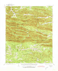
1936 Map of Athens
USGS Topo · Published 1973About this map
Big Fork Mountains and the Missouri Mountains dominate this 1930s survey of the Ouachita region, where four county lines—PolK, Montgomery, Howard, and Pike—converge. The settlement pattern is defined by the high ridges of the Rock Springs and Gap Springs areas, with homesteads and community structures largely confined to the narrow valleys of the Little Missouri River and the Caddo River. Local life centers around rural institutions like Pleasant Grove Ch and a network of one-room schoolhouses, including Henry Sch and Miller Sch. A notable CCC Camp is situated near Cox Spring, reflecting the New Deal-era work projects that shaped this landscape during the Great Depression. The map also traces vital local routes such as Mine Creek Road and the Gap Trail, which provided essential transit through the steep gaps of Statehouse Mountain and Blaylock Mtn.
Find a feature on this map
79 named features on this map. Tap any name to fly to it.
Don’t see what you’re looking for? This feature index may not catch every label — zoom into the map to look around manually.
Map Details
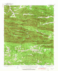
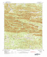
Editions of this 1936 Athens Map
4 editions found
Other maps of this area

1890 · Mount Ida
USGS Topo · 1:125,000

1890 · Poteau Mountain
USGS Topo · 1:125,000

1899 · Poteau Mountain
USGS Topo · 1:125,000

1906 · Caddo Gap
USGS Topo · 1:125,000

1913 · De Queen
USGS Topo · 1:125,000

1936 · Athens
USGS Topo · 1:48,000

1936 · Glenwood
USGS Topo · 1:48,000

1942 · Glenwood
USGS Topo · 1:62,500

1942 · Athens
USGS Topo · 1:62,500

1949 · Glenwood
USGS Topo · 1:62,500