
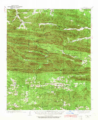
1936 Map of Athens
USGS Topo · Published 1936About this map
Athens and the surrounding river valleys of the Ouachita National Forest define this 1930s landscape, where small rural communities are connected by the winding State Highway No 8. The map documents a dense network of family-named landmarks and local institutions, including Sulphur Springs Sch and Pleasant Hill Sch, which served the scattered homesteads along the Little Missouri River and Caddo River.
Find a feature on this map
79 named features on this map. Tap any name to fly to it.
Don’t see what you’re looking for? This feature index may not catch every label — zoom into the map to look around manually.
Map Details
Editions of this 1936 Athens Map
4 editions found
Other maps of this area

1890 · Mount Ida
USGS Topo · 1:125,000

1890 · Poteau Mountain
USGS Topo · 1:125,000

1899 · Poteau Mountain
USGS Topo · 1:125,000

1906 · Caddo Gap
USGS Topo · 1:125,000

1913 · De Queen
USGS Topo · 1:125,000

1936 · Glenwood
USGS Topo · 1:48,000

1942 · Glenwood
USGS Topo · 1:62,500

1942 · Athens
USGS Topo · 1:62,500

1949 · Glenwood
USGS Topo · 1:62,500

1950 · Mcalester
USGS Topo · 1:250,000