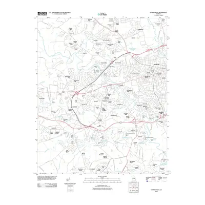
2011 Map of Athens West
USGS Topo · Published 2011About this map
The Middle Oconee River and North Oconee River converge just east of this area, defining the drainage patterns and historical development of the Athens periphery. This 2011 survey captures the suburban and institutional character of the city's western edge, dominated by the sprawling campus of the University of Georgia and numerous residential neighborhoods such as Oconee Heights and Homewood Hills.
Find a feature on this map
165 named features on this map. Tap any name to fly to it.
Don’t see what you’re looking for? This feature index may not catch every label — zoom into the map to look around manually.
Map Details
Editions of this 2011 Athens West Map
This is the sole edition of this map. No revisions or reprints were ever made.
Other maps of this area

1891 · Gainesville
USGS Topo · 1:125,000

1891 · Carnesville
USGS Topo · 1:125,000

1896 · Monroe
USGS Topo · 1:125,000

1953 · Athens
USGS Topo · 1:250,000

1954 · Greenville
USGS Topo · 1:250,000

1958 · Greenville
USGS Topo · 1:250,000

1958 · Athens
USGS Topo · 1:250,000

1959 · Athens
USGS Topo · 1:250,000

1963 · Athens
USGS Topo · 1:250,000

1964 · Athens West
USGS Topo · 1:24,000