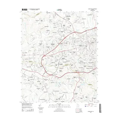
2014 Map of Athens West
USGS Topo · Published 2014About this map
The Middle Oconee River and North Oconee River define the suburban and residential growth of western Athens in this 2014 survey. This map documents a landscape of established neighborhoods and residential developments such as Park View Homes, Westgate Park, and Broadacres Homes, alongside significant local cemeteries including Evergreen Memorial Park and Mars Hill Cem.
Find a feature on this map
391 named features on this map. Tap any name to fly to it.
Don’t see what you’re looking for? This feature index may not catch every label — zoom into the map to look around manually.
Map Details
Editions of this 2014 Athens West Map
This is the sole edition of this map. No revisions or reprints were ever made.
Other maps of this area

1891 · Gainesville
USGS Topo · 1:125,000

1891 · Carnesville
USGS Topo · 1:125,000

1896 · Monroe
USGS Topo · 1:125,000

1953 · Athens
USGS Topo · 1:250,000

1954 · Greenville
USGS Topo · 1:250,000

1958 · Greenville
USGS Topo · 1:250,000

1958 · Athens
USGS Topo · 1:250,000

1959 · Athens
USGS Topo · 1:250,000

1963 · Athens
USGS Topo · 1:250,000

1964 · Athens West
USGS Topo · 1:24,000