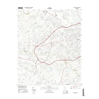
2017 Map of Athens West
USGS Topo · Published 2017About this map
The Middle Oconee River and North Oconee River carve through the heart of this landscape, defining the transition between the urban reach of Athens and the expanding residential outskirts of Clarke and Oconee counties. In 2017, the map illustrates a complex network of established neighborhoods and newer developments such as Camelot and Oconee Heights, while preserving older landmarks like the Mars Hill Cem and the small settlement of Princeton. Industrial and commercial growth is evident along the major corridors of Epps Bridge Pkwy and US Hwy 129 441. Water management is a prominent theme, with numerous reservoirs and small lakes including Lake Wildwood, Coles Lake, and T M Tillman Lake punctuating the drainage basins of McNutt Cr and Turkey Cr. These features highlight the evolving hydrological and suburban character of the region as it balances residential density with its riverine heritage.
Find a feature on this map
52 named features on this map. Tap any name to fly to it.
Don’t see what you’re looking for? This feature index may not catch every label — zoom into the map to look around manually.
Map Details
Editions of this 2017 Athens West Map
This is the sole edition of this map. No revisions or reprints were ever made.
Other maps of this area

1891 · Gainesville
USGS Topo · 1:125,000

1891 · Carnesville
USGS Topo · 1:125,000

1896 · Monroe
USGS Topo · 1:125,000

1953 · Athens
USGS Topo · 1:250,000

1954 · Greenville
USGS Topo · 1:250,000

1958 · Greenville
USGS Topo · 1:250,000

1958 · Athens
USGS Topo · 1:250,000

1959 · Athens
USGS Topo · 1:250,000

1963 · Athens
USGS Topo · 1:250,000

1964 · Athens West
USGS Topo · 1:24,000