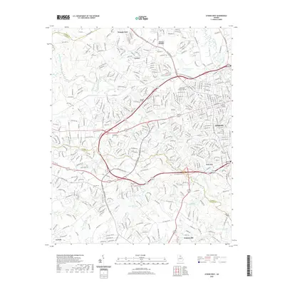
2020 Map of Athens West
USGS Topo · Published 2020About this map
The Middle Oconee River and North Oconee River converge in this transition zone between suburban development and rural landscapes west of Athens. This 2020 record illustrates the expansion of residential clusters like Oconee Heights, Westgate Park, and Camelot, while also preserving markers of local genealogy such as Mars Hill Cem and Robinson Cem. A notable geographic feature is the Mitchell Bridge crossing, a historic point on the Oconee riverbank that influenced the road network through the region.
Find a feature on this map
366 named features on this map. Tap any name to fly to it.
Don’t see what you’re looking for? This feature index may not catch every label — zoom into the map to look around manually.
Map Details
Editions of this 2020 Athens West Map
This is the sole edition of this map. No revisions or reprints were ever made.
Other maps of this area

1891 · Gainesville
USGS Topo · 1:125,000

1891 · Carnesville
USGS Topo · 1:125,000

1896 · Monroe
USGS Topo · 1:125,000

1953 · Athens
USGS Topo · 1:250,000

1954 · Greenville
USGS Topo · 1:250,000

1958 · Greenville
USGS Topo · 1:250,000

1958 · Athens
USGS Topo · 1:250,000

1959 · Athens
USGS Topo · 1:250,000

1963 · Athens
USGS Topo · 1:250,000

1964 · Athens West
USGS Topo · 1:24,000