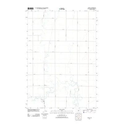
2012 Map of Athol
USGS Topo · Published 2012About this map
Athol anchors the southern portion of this Spink County landscape, situated where the local road network converges near the meandering path of S Fork Snake Cr. The settlement's layout is defined by a grid of numbered avenues and streets, including Athol Dr and Co Hwy 14, which facilitate movement through the agricultural surroundings. A notable point of local history is found at Saint Marys Cem, located just north of the town center near the banks of Snake Cr. The terrain is dominated by the intricate, looping channels of the creek system, which snakes north-to-south across the quadrangle. This 2012 survey illustrates the enduring rural character of the region, where the intersection of water and roadway continues to dictate the footprint of human activity and burial grounds.
Find a feature on this map
20 named features on this map. Tap any name to fly to it.
Don’t see what you’re looking for? This feature index may not catch every label — zoom into the map to look around manually.
Map Details
Editions of this 2012 Athol Map
This is the sole edition of this map. No revisions or reprints were ever made.
Other maps of this area

1895 · Byron
USGS Topo · 1:125,000

1895 · Aberdeen
USGS Topo · 1:125,000

1899 · Northville
USGS Topo · 1:125,000

1899 · Redfield
USGS Topo · 1:125,000

1953 · Redfield North
USGS Topo · 1:24,000

1953 · Gallup
USGS Topo · 1:24,000

1953 · Ashton
USGS Topo · 1:24,000

1953 · Huron
USGS Topo · 1:250,000

1954 · Mellette
USGS Topo · 1:24,000

1954 · Aberdeen
USGS Topo · 1:250,000