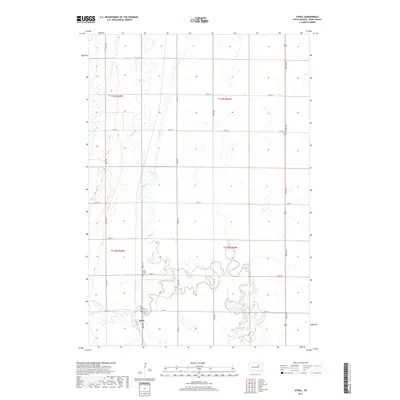
2017 Map of Athol
USGS Topo · Published 2017About this map
Athol anchors the southern portion of this Spink County landscape, surrounded by the rectangular grid of section lines and rural roads typical of the eastern Dakotas. The drainage patterns of Snake Creek and the S Fork Snake Cr carve sinuous paths through the agricultural terrain, highlighting the natural topography that underlies the region's productive farmland. Local heritage is preserved in a concentration of burial sites near the settlement, including Saint Mary's Cem, Saint Ann's Cem, and the Athol Cem. These features reflect the community's historical foundations and the importance of parish life in this rural prairie setting. The map provides a detailed view of the section boundaries and local roads like 164th St, which define the movement and property lines of the modern era.
Find a feature on this map
17 named features on this map. Tap any name to fly to it.
Don’t see what you’re looking for? This feature index may not catch every label — zoom into the map to look around manually.
Map Details
Editions of this 2017 Athol Map
This is the sole edition of this map. No revisions or reprints were ever made.
Other maps of this area

1895 · Byron
USGS Topo · 1:125,000

1895 · Aberdeen
USGS Topo · 1:125,000

1899 · Northville
USGS Topo · 1:125,000

1899 · Redfield
USGS Topo · 1:125,000

1953 · Redfield North
USGS Topo · 1:24,000

1953 · Gallup
USGS Topo · 1:24,000

1953 · Ashton
USGS Topo · 1:24,000

1953 · Huron
USGS Topo · 1:250,000

1954 · Mellette
USGS Topo · 1:24,000

1954 · Aberdeen
USGS Topo · 1:250,000