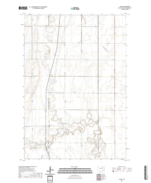
2021 Map of Athol
USGS Topo · Published 2021About this map
Athol serves as the primary settlement on this Spink County landscape, situated where the grid of rural section roads meets the winding path of South Fork Snake Creek. The topography is defined by the heavy meandering of Snake Creek, which carves complex loops across the central and southern portions of the quadrangle. This 2021 survey reveals a quiet agricultural region anchored by two local burial grounds: Athol Cem near the town site and Saint Mary's Cem to the north along 163rd St. The reliance on a systematic road network, including Co Rd 17 and 384th Ave, highlights the modern connectivity of this prairie terrain, where the water courses of the S Fork Snake Cr remain the most prominent natural landmarks among the vast fields of the Glacial Lake Dakota region.
Find a feature on this map
25 named features on this map. Tap any name to fly to it.
Don’t see what you’re looking for? This feature index may not catch every label — zoom into the map to look around manually.
Map Details
Editions of this 2021 Athol Map
This is the sole edition of this map. No revisions or reprints were ever made.
Other maps of this area

1895 · Byron
USGS Topo · 1:125,000

1895 · Aberdeen
USGS Topo · 1:125,000

1899 · Northville
USGS Topo · 1:125,000

1899 · Redfield
USGS Topo · 1:125,000

1953 · Redfield North
USGS Topo · 1:24,000

1953 · Gallup
USGS Topo · 1:24,000

1953 · Ashton
USGS Topo · 1:24,000

1953 · Huron
USGS Topo · 1:250,000

1954 · Mellette
USGS Topo · 1:24,000

1954 · Aberdeen
USGS Topo · 1:250,000