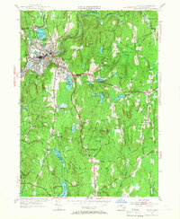
1954 Map of Athol
USGS Topo · Published 1966About this map
Athol sits at the confluence of the Millers River and local tributaries, serving as a concentrated industrial and transit hub during the mid-1950s. The town's grid is dense with development, bordered by the Boston and Maine RR and a network of water bodies like Silver Lake and Sportsmans Pond. Beyond the urban center, the landscape transitions into the managed timberlands of the Harvard Forest, where the Administration Bldg Harvard Forest stands as a focal point for academic research. This survey highlights an area dense with genealogical data, including numerous family and community burial grounds such as Doe Valley Cem, Fay Cem, and New Sherborn Cem. The surrounding hills, including Pratt Hill and Prospect Hill, are dotted with isolated settlements like Phillipston and small rural institutions such as the Phillipston No 5 Sch.
Find a feature on this map
56 named features on this map. Tap any name to fly to it.
Don’t see what you’re looking for? This feature index may not catch every label — zoom into the map to look around manually.
Map Details
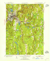
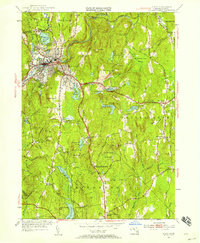
Editions of this 1954 Athol Map
3 editions found
Other maps of this area

1887 · Warwick
USGS Topo · 1:62,500

1887 · Belchertown
USGS Topo · 1:62,500

1887 · Winchendon
USGS Topo · 1:62,500

1887 · Barre
USGS Topo · 1:62,500

1889 · Barre
USGS Topo · 1:62,500

1889 · Warwick
USGS Topo · 1:62,500

1890 · Belchertown
USGS Topo · 1:62,500

1890 · Winchendon
USGS Topo · 1:62,500

1893 · Belchertown
USGS Topo · 1:62,500

1894 · Winchendon
USGS Topo · 1:62,500