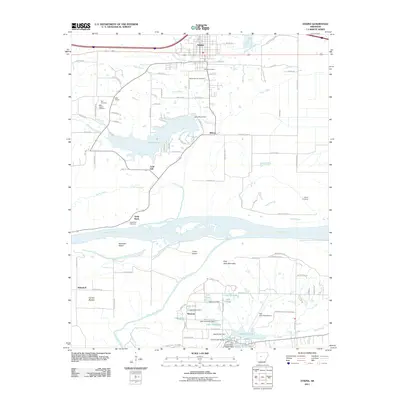
2011 Map of Atkins
USGS Topo · Published 2011About this map
Atkins serves as the focal point of this Arkansas River valley landscape, where the Union Pacific Railroad parallels the northern corridor. The terrain south of the settlement transitions into the rich alluvial lands of Carden Bottom, bordered by the wide bends of the Arkansas River and the winding Petit Jean River. This area is characterized by a significant collection of small lakes and reservoirs, including Lake Atkins, Lake Lucy, and Lake Elsie, which support the agricultural and recreational needs of the region.
Find a feature on this map
102 named features on this map. Tap any name to fly to it.
Don’t see what you’re looking for? This feature index may not catch every label — zoom into the map to look around manually.
Map Details
Editions of this 2011 Atkins Map
This is the sole edition of this map. No revisions or reprints were ever made.
Other maps of this area

1888 · Dardanelle #4
USGS Topo · 1:62,500

1888 · Dardanelle #1
USGS Topo · 1:62,500

1889 · Morrilton No. 3
USGS Topo · 1:62,500

1890 · Dardanelle
USGS Topo · 1:125,000

1892 · Morrillton
USGS Topo · 1:125,000

1894 · Morrillton
USGS Topo · 1:125,000

1956 · Russellville
USGS Topo · 1:250,000

1961 · Perryville
USGS Topo · 1:24,000

1961 · Morrilton West
USGS Topo · 1:24,000

1961 · Adona
USGS Topo · 1:24,000