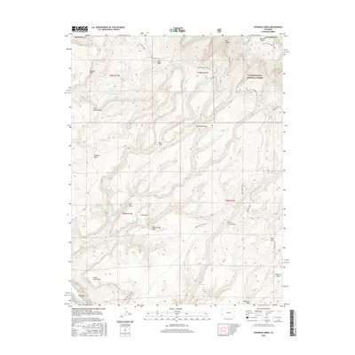
2016 Map of Atkinson Creek
USGS Topo · Published 2016About this map
Uravan sits along the San Miguel River in the southwestern corner of this Montrose County landscape, serving as a focal point for the surrounding network of canyons and high plateaus. The terrain is defined by a series of distinct tablelands including Little Atkinson Mesa, Burro Creek Mesa, and Wild Cow Mesa, which are separated by dramatic drops like the Atkinson Breaks. The northeastern portion of the map is dominated by the Uncompahgre National Forest, where the topography rises into features such as The Tongue and Johnson Basin. A complex system of drainages, including Big Atkinson Creek and Hog Park Wash, carves through the earth, illustrating the erosive forces that have shaped this portion of the Colorado Plateau. Long-standing transit routes such as the Paradox Trail and various administrative tracks like the Spring Creek Truck Trail provide access across the high mesas and through the deep draws.
Find a feature on this map
83 named features on this map. Tap any name to fly to it.
Don’t see what you’re looking for? This feature index may not catch every label — zoom into the map to look around manually.
Map Details
Editions of this 2016 Atkinson Creek Map
This is the sole edition of this map. No revisions or reprints were ever made.
Other maps of this area

1916 · Paradox Valley
USGS Topo · 1:125,000

1922 · Paradox Valley
USGS Topo · 1:125,000

1948 · Uravan
USGS Topo · 1:24,000

1949 · Davis Mesa
USGS Topo · 1:24,000

1949 · Uravan
USGS Topo · 1:24,000

1949 · Atkinson Creek
USGS Topo · 1:24,000

1949 · Red Canyon
USGS Topo · 1:24,000

1949 · Calamity Mesa
USGS Topo · 1:24,000

1950 · Calamity Mesa
USGS Topo · 1:24,000

1950 · Atkinson Creek
USGS Topo · 1:24,000