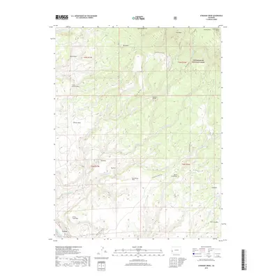
2019 Map of Atkinson Creek
USGS Topo · Published 2019About this map
Uravan sits along the San Miguel River in the southwestern corner of this landscape, marking a rare point of human settlement amidst a terrain of high mesas and deep drainages. The map reveals a complex system of tablelands including Atkinson Mesa, Little Atkinson Mesa, and Spring Creek Mesa, separated by significant erosion features like Atkinson Breaks and Bull Draw. To the northeast, the Uncompahgre National Forest encompasses the high ground of the Uncompahgre Plateau and the distinctive landform known as The Tongue. Water management and natural flow are indicated by the Spring Creek Truck Trl navigating the slopes above Spring Cr and Big Atkinson Cr. The transition from the river valley to the elevated Gypsum Bluff illustrates the dramatic vertical geography typical of this section of Montrose County.
Find a feature on this map
44 named features on this map. Tap any name to fly to it.
Don’t see what you’re looking for? This feature index may not catch every label — zoom into the map to look around manually.
Map Details
Editions of this 2019 Atkinson Creek Map
This is the sole edition of this map. No revisions or reprints were ever made.
Other maps of this area

1916 · Paradox Valley
USGS Topo · 1:125,000

1922 · Paradox Valley
USGS Topo · 1:125,000

1948 · Uravan
USGS Topo · 1:24,000

1949 · Davis Mesa
USGS Topo · 1:24,000

1949 · Uravan
USGS Topo · 1:24,000

1949 · Atkinson Creek
USGS Topo · 1:24,000

1949 · Red Canyon
USGS Topo · 1:24,000

1949 · Calamity Mesa
USGS Topo · 1:24,000

1950 · Calamity Mesa
USGS Topo · 1:24,000

1950 · Atkinson Creek
USGS Topo · 1:24,000