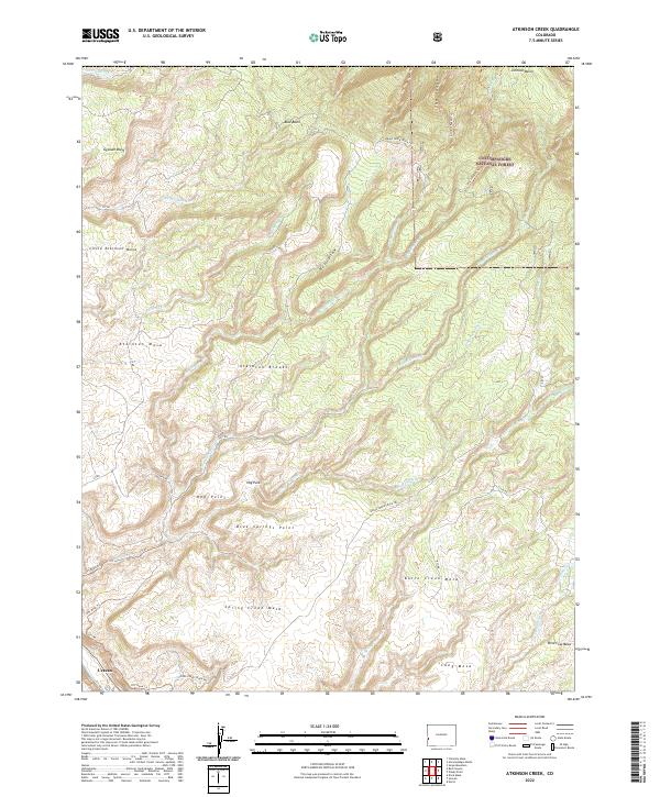
2022 Map of Atkinson Creek
USGS Topo · Published 2022About this map
Uravan sits at the southwestern edge of this landscape, a place defined by high plateaus and complex drainage systems within the Uncompahgre National Forest. The terrain is characterized by massive elevated flats such as Atkinson Mesa, Spring Creek Mesa, and Little Atkinson Mesa, which are separated by deep erosional features like the Atkinson Breaks. Waterways including Atkinson Creek and Big Johnson Creek cut through the land, flowing toward landmarks like Gypsum Bluff and The Tongue. This 2022 survey captures the modern network of backroads and trails, including the Spring Creek Truck Trail and S17 Road Trail, which navigate the rises of Hog Point and Blue Springs Point. The map provides a clear look at how the region's geography dictates movement, with the various mesas serving as natural barriers and platforms for early industry and ranching access.
Find a feature on this map
49 named features on this map. Tap any name to fly to it.
Don’t see what you’re looking for? This feature index may not catch every label — zoom into the map to look around manually.
Map Details
Editions of this 2022 Atkinson Creek Map
This is the sole edition of this map. No revisions or reprints were ever made.
Other maps of this area

1916 · Paradox Valley
USGS Topo · 1:125,000

1922 · Paradox Valley
USGS Topo · 1:125,000

1948 · Uravan
USGS Topo · 1:24,000

1949 · Davis Mesa
USGS Topo · 1:24,000

1949 · Uravan
USGS Topo · 1:24,000

1949 · Atkinson Creek
USGS Topo · 1:24,000

1949 · Red Canyon
USGS Topo · 1:24,000

1949 · Calamity Mesa
USGS Topo · 1:24,000

1950 · Calamity Mesa
USGS Topo · 1:24,000

1950 · Atkinson Creek
USGS Topo · 1:24,000