2021 Map of Atkinson
USGS Topo · Published 2021About this map
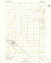
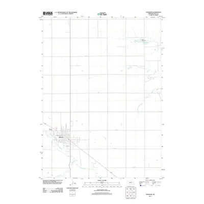
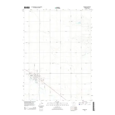
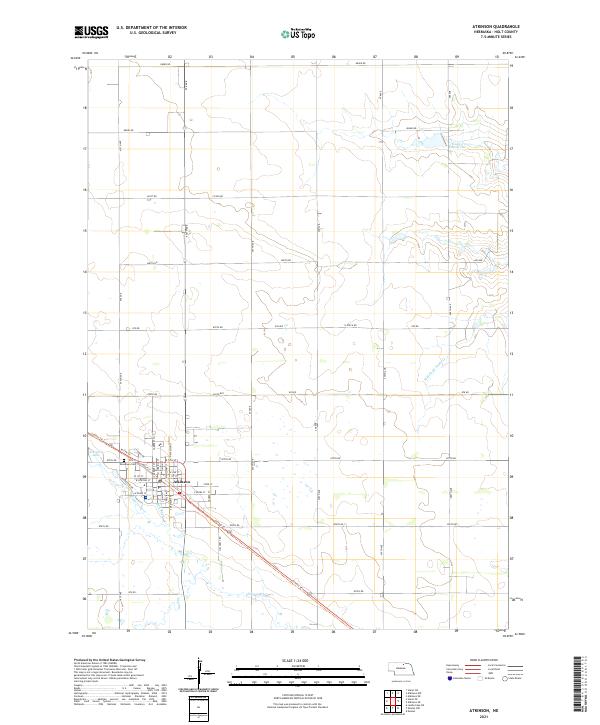
Atkinson serves as a focal point for this section of Holt County, situated along the northern banks of the Elkhorn River. The town's grid is clearly defined, with Woodlawn Cem on the western edge and recreational water access provided by Atkinson Lake. A legacy of water-powered industry or irrigation is suggested by the Mill-Race located just south of the main settlement. The surrounding Nebraska landscape is characterized by a series of north-flowing creeks, including Dry Cr and the Middle Br Eagle Cr, which feeds into the Eagle Cr Reservoir in the northeast. Transportation patterns are defined by the Cowboy Trl, a long-distance route following the path of former rail infrastructure, and a consistent grid of section roads like 880th Rd and 480 Ave that facilitate agricultural movement across the plains.
Find a feature on this map
41 named features on this map. Tap any name to fly to it.
Don’t see what you’re looking for? This feature index may not catch every label — zoom into the map to look around manually.
Map Details
Editions of this 2021 Atkinson Map
This is the sole edition of this map. No revisions or reprints were ever made.
Historical Maps of Atkinson Through Time
6 maps found