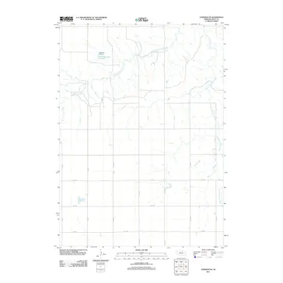
2011 Map of Atkinson SE
USGS Topo · Published 2011About this map
The Middle Branch Eagle Creek and East Branch Eagle Creek define the drainage patterns across this section of Holt County. The landscape is structured by a strict section-line road network, including thoroughfares such as 485th Ave and 877th Rd, which facilitate movement through this agricultural region. Water management is a visible priority here, anchored by the Tielke Dam Number 1 and its associated Tielke Reservoir Number 1 in the northwest. These features illustrate the intersection of local ranching or farming needs with the natural riparian corridors of the Nebraska plains. The map reveals a sparsely populated terrain where the intersection of numeric section roads and creek branches dictates the local geography.
Find a feature on this map
14 named features on this map. Tap any name to fly to it.
Don’t see what you’re looking for? This feature index may not catch every label — zoom into the map to look around manually.
Map Details
Editions of this 2011 Atkinson SE Map
This is the sole edition of this map. No revisions or reprints were ever made.
Other maps of this area

1954 · Atkinson SE
USGS Topo · 1:24,000

1954 · Atkinson
USGS Topo · 1:24,000

1954 · Meek SW
USGS Topo · 1:24,000

1954 · Meek
USGS Topo · 1:24,000

1954 · Atkinson NW
USGS Topo · 1:24,000

1954 · Atkinson NE
USGS Topo · 1:24,000

1955 · O'Neill
USGS Topo · 1:250,000

1958 · O'Neill
USGS Topo · 1:24,000

1959 · O'Neill
USGS Topo · 1:250,000

1964 · Emmet NW
USGS Topo · 1:24,000