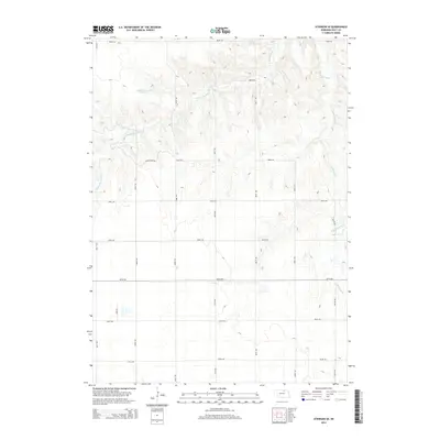
2014 Map of Atkinson SE
USGS Topo · Published 2014About this map
Middle Br Eagle Cr and E Br Eagle Cr carve through the sectioned agricultural lands of Holt County, defining the local drainage and topography. This area of Nebraska is characterized by a precise grid of rural routes, including Kensington Rd and John Rd, which segment the landscape into systematic parcels. A notable point of water management is Tielke Reservoir Number 1 in the northwestern quadrant, which serves as a landmark in a terrain otherwise dominated by the serpentine paths of the Eagle Creek branches. The map reflects a modern rural landscape where traditional farm boundaries and natural watercourses exist alongside contemporary named roads like 883rd Rd and 484th Ave.
Find a feature on this map
20 named features on this map. Tap any name to fly to it.
Don’t see what you’re looking for? This feature index may not catch every label — zoom into the map to look around manually.
Map Details
Editions of this 2014 Atkinson SE Map
This is the sole edition of this map. No revisions or reprints were ever made.
Other maps of this area

1954 · Atkinson SE
USGS Topo · 1:24,000

1954 · Atkinson
USGS Topo · 1:24,000

1954 · Meek SW
USGS Topo · 1:24,000

1954 · Meek
USGS Topo · 1:24,000

1954 · Atkinson NW
USGS Topo · 1:24,000

1954 · Atkinson NE
USGS Topo · 1:24,000

1955 · O'Neill
USGS Topo · 1:250,000

1958 · O'Neill
USGS Topo · 1:24,000

1959 · O'Neill
USGS Topo · 1:250,000

1964 · Emmet NW
USGS Topo · 1:24,000