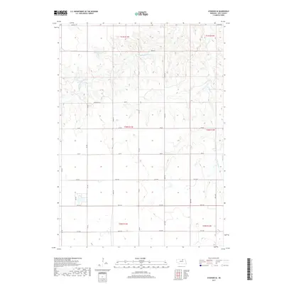
2017 Map of Atkinson SE
USGS Topo · Published 2017About this map
Tielke Reservoir Number 1 sits at the northern edge of this landscape in Holt County, marking a vital water source in this agricultural region. The terrain is defined by the winding paths of the Middle Br Eagle Cr and E Br Eagle Cr, which drain the rolling prairies of north-central Nebraska. These waterways create a distinct drainage pattern across the landscape, influencing the placement of section lines and rural infrastructure. The map reveals a strictly gridded road system typical of the Great Plains, featuring a network of local connectors such as Kensington Rd and John Rd. This 2017 survey documents the modern layout of the Public Land Survey System, showing the Township and Range boundaries from t31n r13w down through t29n r12w. It captures a rural landscape where the natural hydrology of the Eagle Creek branches continues to shape the orientation of the surrounding farmland and ranch tracts.
Find a feature on this map
26 named features on this map. Tap any name to fly to it.
Don’t see what you’re looking for? This feature index may not catch every label — zoom into the map to look around manually.
Map Details
Editions of this 2017 Atkinson SE Map
This is the sole edition of this map. No revisions or reprints were ever made.
Other maps of this area

1954 · Atkinson SE
USGS Topo · 1:24,000

1954 · Atkinson
USGS Topo · 1:24,000

1954 · Meek SW
USGS Topo · 1:24,000

1954 · Meek
USGS Topo · 1:24,000

1954 · Atkinson NW
USGS Topo · 1:24,000

1954 · Atkinson NE
USGS Topo · 1:24,000

1955 · O'Neill
USGS Topo · 1:250,000

1958 · O'Neill
USGS Topo · 1:24,000

1959 · O'Neill
USGS Topo · 1:250,000

1964 · Emmet NW
USGS Topo · 1:24,000