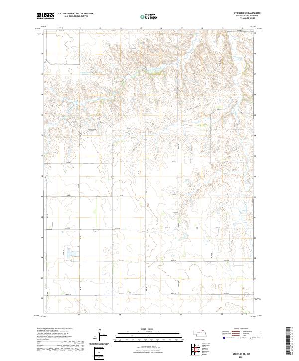
2021 Map of Atkinson SE
USGS Topo · Published 2021About this map
Tielke Reservoir Number 1 sits in the northwest portion of this landscape, a remote section of Nebraska's Sandhills region within Holt County. The area is defined by the headwaters of the Eagle Creek drainage system, including the meandering paths of Middle Br Eagle Cr and E Br Eagle Cr. This 2021 survey reveals a vast, sparsely populated agricultural territory organized by a strict section-line road grid. Named rural routes like Kensington Rd and John Rd provide the only significant infrastructure across the townships of T31N, T30N, and T29N. The map illustrates a transitional terrain where high prairie elevations drop into the etched draws of the creek branches, showing the enduring ranching and water management patterns of north-central Nebraska.
Find a feature on this map
26 named features on this map. Tap any name to fly to it.
Don’t see what you’re looking for? This feature index may not catch every label — zoom into the map to look around manually.
Map Details
Editions of this 2021 Atkinson SE Map
This is the sole edition of this map. No revisions or reprints were ever made.
Other maps of this area

1954 · Atkinson SE
USGS Topo · 1:24,000

1954 · Atkinson
USGS Topo · 1:24,000

1954 · Meek SW
USGS Topo · 1:24,000

1954 · Meek
USGS Topo · 1:24,000

1954 · Atkinson NW
USGS Topo · 1:24,000

1954 · Atkinson NE
USGS Topo · 1:24,000

1955 · O'Neill
USGS Topo · 1:250,000

1958 · O'Neill
USGS Topo · 1:24,000

1959 · O'Neill
USGS Topo · 1:250,000

1964 · Emmet NW
USGS Topo · 1:24,000