
1972 Map of Atlanta
USGS Topo · Published 1974About this map
The Yalobusha River Canal and Topashaw Creek Canal define the hydrologic engineering of the North Mississippi landscape in the early 1970s. These straightened waterways, alongside natural meanders like Cane Creek and Bear Creek, represent a rural environment heavily modified for agricultural drainage. Small community centers such as Atlanta and Vardaman anchor the region, which is dotted with numerous local landmarks critical for genealogical research.
Find a feature on this map
28 named features on this map. Tap any name to fly to it.
Don’t see what you’re looking for? This feature index may not catch every label — zoom into the map to look around manually.
Map Details
Editions of this 1972 Atlanta Map
This is the sole edition of this map. No revisions or reprints were ever made.
Other maps of this area

1953 · Walthall
USGS Topo · 1:62,500

1953 · West Point
USGS Topo · 1:250,000

1954 · Pittsboro
USGS Topo · 1:62,500

1958 · West Point
USGS Topo · 1:250,000

1963 · West Point
USGS Topo · 1:250,000

1972 · Vardaman
USGS Topo · 1:24,000

1972 · Hohenlinden
USGS Topo · 1:24,000
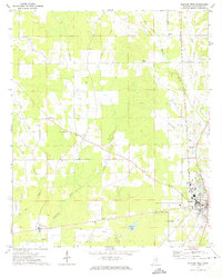
1972 · Houston West
USGS Topo · 1:24,000

1972 · Mantee
USGS Topo · 1:24,000
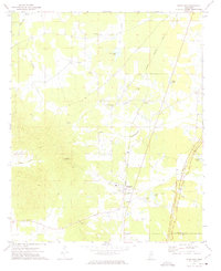
1972 · Woodland
USGS Topo · 1:24,000