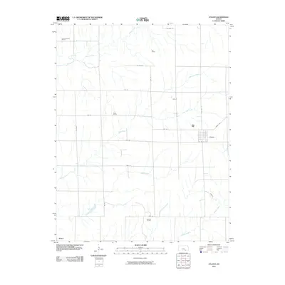
2010 Map of Atlanta
USGS Topo · Published 2010About this map
Atlanta serves as the primary hub of this 2010 landscape in Cowley County, defined by a distinct grid of section-line roads and several active petroleum operations. The map highlights the industrial character of the region through the Eastman Oil Field, Couch Oil Field, Clay Oil Field, and Combs Northeast Oil Field, illustrating the ongoing importance of energy extraction in this part of Kansas.
Find a feature on this map
29 named features on this map. Tap any name to fly to it.
Don’t see what you’re looking for? This feature index may not catch every label — zoom into the map to look around manually.
Map Details
Editions of this 2010 Atlanta Map
This is the sole edition of this map. No revisions or reprints were ever made.
Other maps of this area

1888 · Eldorado
USGS Topo · 1:125,000

1889 · Burden
USGS Topo · 1:125,000

1955 · Wichita
USGS Topo · 1:250,000

1958 · Wichita
USGS Topo · 1:250,000

1961 · Gordon
USGS Topo · 1:24,000

1962 · Cambridge
USGS Topo · 1:24,000

1964 · Augusta SE
USGS Topo · 1:24,000

1964 · Latham
USGS Topo · 1:24,000

1964 · Cambridge NW
USGS Topo · 1:24,000

1964 · Burden
USGS Topo · 1:24,000