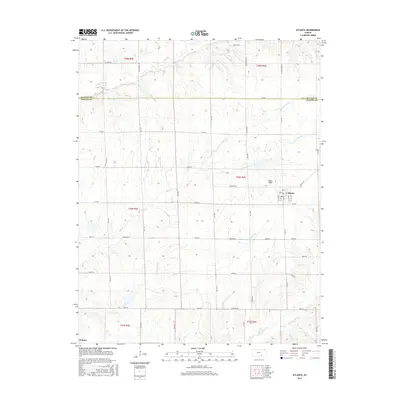
2015 Map of Atlanta
USGS Topo · Published 2015About this map
Atlanta sits at the eastern edge of this landscape, its grid of streets including Main St, Walnut St, and Locust St marking a quiet hub in Cowley County. To the southwest, the small settlement of Wilmot occupies a corner of the sheet near Timber Cr. The terrain is defined by an intricate network of drainage, where Upper Dutch Creek and Lower Dutch Creek converge as they flow toward the south and west. This 2015 survey reveals the persistent agricultural geometry of the region, where a dense grid of rural routes such as NW Pickrell Rd and SE Bluestem Rd connect isolated farmsteads across the undulating prairies. The boundary between Butler and Cowley counties bisects the northern portion of the map, illustrating how administrative lines overlay the natural paths of Rock Creek and Richland Creek.
Find a feature on this map
51 named features on this map. Tap any name to fly to it.
Don’t see what you’re looking for? This feature index may not catch every label — zoom into the map to look around manually.
Map Details
Editions of this 2015 Atlanta Map
This is the sole edition of this map. No revisions or reprints were ever made.
Other maps of this area

1888 · Eldorado
USGS Topo · 1:125,000

1889 · Burden
USGS Topo · 1:125,000

1955 · Wichita
USGS Topo · 1:250,000

1958 · Wichita
USGS Topo · 1:250,000

1961 · Gordon
USGS Topo · 1:24,000

1962 · Cambridge
USGS Topo · 1:24,000

1964 · Augusta SE
USGS Topo · 1:24,000

1964 · Latham
USGS Topo · 1:24,000

1964 · Cambridge NW
USGS Topo · 1:24,000

1964 · Burden
USGS Topo · 1:24,000