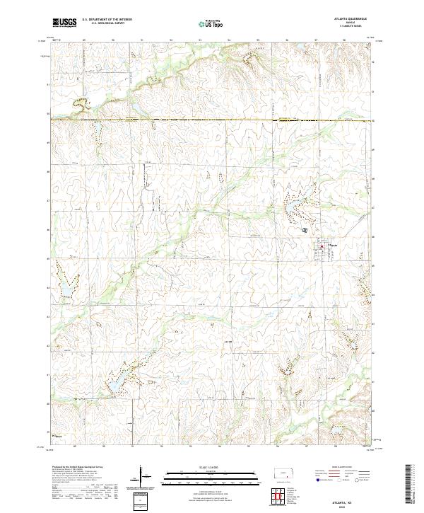
2022 Map of Atlanta
USGS Topo · Published 2022About this map
Atlanta serves as the primary hub of this landscape, situated near the headwaters of Richland Creek and Richland Cr. The street grid of the town is clearly defined by historical thoroughfares such as Main St, Omnia St, and Walnut St. This agricultural region on the border of Butler and Cowley Counties is characterized by a dense network of watercourses, including Upper Dutch Cr and Lower Dutch Cr, which dissect the terrain into numerous drainage basins. To the southwest, the small settlement of Wilmot marks the transition toward Timber Cr. The map's detail preserves the exact placement of rural township roads and county routes like Co Rd 2, revealing the enduring 19th-century land survey patterns that continue to organize the farms and ranches of south-central Kansas.
Find a feature on this map
52 named features on this map. Tap any name to fly to it.
Don’t see what you’re looking for? This feature index may not catch every label — zoom into the map to look around manually.
Map Details
Editions of this 2022 Atlanta Map
This is the sole edition of this map. No revisions or reprints were ever made.
Other maps of this area

1888 · Eldorado
USGS Topo · 1:125,000

1889 · Burden
USGS Topo · 1:125,000

1955 · Wichita
USGS Topo · 1:250,000

1958 · Wichita
USGS Topo · 1:250,000

1961 · Gordon
USGS Topo · 1:24,000

1962 · Cambridge
USGS Topo · 1:24,000

1964 · Augusta SE
USGS Topo · 1:24,000

1964 · Latham
USGS Topo · 1:24,000

1964 · Cambridge NW
USGS Topo · 1:24,000

1964 · Burden
USGS Topo · 1:24,000