Loading...
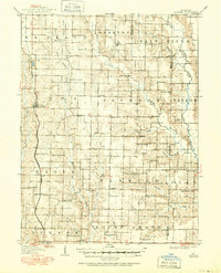
Loading map...1908 Map of Atlanta
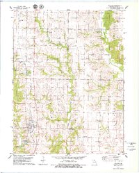
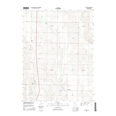
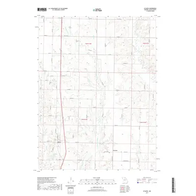
USGS Topo · Published 1950About this map
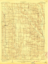
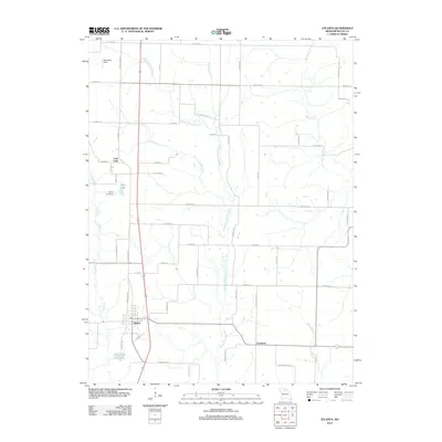
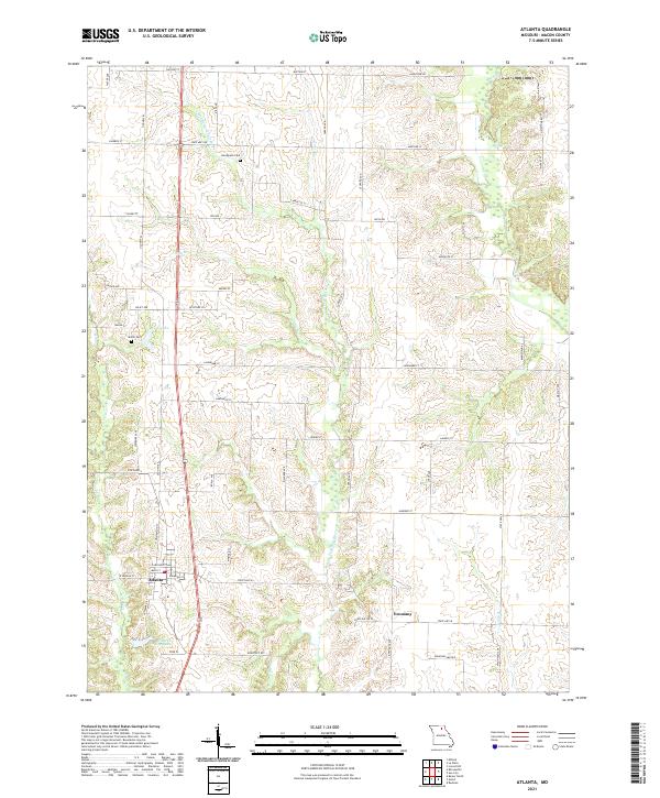
Atlanta sits at the heart of this agricultural landscape in Macon County, serving as a hub for the Wabash RR which cuts north-south through the western townships. The terrain is defined by the branching waters of the Middle Fork Salt River and the North Fork Salt River, creating a dissected upland pattern where early 20th-century life centered around a dense network of country schoolhouses and churches. Small rural centers like Sue City and Economy provided essential services to the surrounding farms.
Find a feature on this map
83 named features on this map. Tap any name to fly to it.
Don’t see what you’re looking for? This feature index may not catch every label — zoom into the map to look around manually.
Map Details
Date Portrayed1908
Date Published1950
PublisherU.S. Geological Survey
Map TypeTopographic
Scale1:62,500
Physical Dimensions16.9 x 20.8 inches
Editions of this 1908 Atlanta Map
2 editions found
Historical Maps of Macon Through Time
6 maps found
Featured Locations
Source Details
SourceU.S. Geological Survey
CopyrightPublic Domain