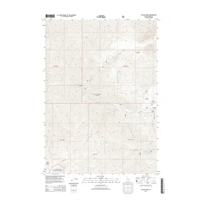
2013 Map of Atlanta West
USGS Topo · Published 2013About this map
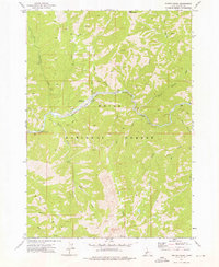
The Middle Fork Boise River serves as the central artery for this mountainous region of Idaho, where the small community of Atlanta sits near the eastern edge of the map. This area is defined by the intersection of the Boise National Forest and Sawtooth National Forest, illustrating a landscape heavily managed for conservation and recreation in the early 21st century. The map highlights the area's transition from historic mining roots, evidenced by names like Quartz Gulch, to a hub for backcountry access. Notable sites for local history and recreation include the Atlanta Airport and the Queens River Campground, which provide access to the network of drainages such as Queens River and the Yuba River. From the James Creek Summit in the southwest to the high elevations above China Basin, the topography reveals a remote territory of deep gulches and significant elevation changes.
Find a feature on this map
45 named features on this map. Tap any name to fly to it.
Don’t see what you’re looking for? This feature index may not catch every label — zoom into the map to look around manually.
Map Details
Editions of this 2013 Atlanta West Map
This is the sole edition of this map. No revisions or reprints were ever made.
Other maps of this area

1894 · Rocky Bar
USGS Topo · 1:125,000

1955 · Hailey
USGS Topo · 1:250,000

1959 · Hailey
USGS Topo · 1:250,000

1962 · Hailey
USGS Topo · 1:250,000

1964 · Ross Peak
USGS Topo · 1:24,000

1964 · Cayuse Point
USGS Topo · 1:24,000
1964 · Rocky Bar
USGS Topo · 1:24,000
1972 · Atlanta East
USGS Topo · 1:24,000
1972 · Swanholm Peak
USGS Topo · 1:24,000
1972 · Phifer Creek
USGS Topo · 1:24,000