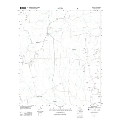
2012 Map of Atlanta
USGS Topo · Published 2012About this map
Atlanta and its surrounding parish lands are defined by a network of small creeks and bayous that have shaped the settlement patterns of this Louisiana landscape. The town of Atlanta is situated in the western portion of the quadrangle, connected to smaller communities like Sardis and Whitford by a series of local parish roads. The resource extraction economy is evident through the development of the Atlanta Gas Field, Sulphur Creek Gas Field, and the Iatt Creek Oil Field in the south, suggesting a shift from early agricultural or timber-based livelihoods to energy production.
Find a feature on this map
120 named features on this map. Tap any name to fly to it.
Don’t see what you’re looking for? This feature index may not catch every label — zoom into the map to look around manually.
Map Details
Editions of this 2012 Atlanta Map
This is the sole edition of this map. No revisions or reprints were ever made.
Other maps of this area

1932 · Colfax NE
USGS Topo · 1:31,680

1932 · Colfax NW
USGS Topo · 1:31,680

1935 · Verda
USGS Topo · 1:31,680

1936 · Colfax
USGS Topo · 1:62,500

1937 · Montgomery
USGS Topo · 1:62,500

1942 · Montgomery
USGS Topo · 1:62,500

1945 · Montgomery
USGS Topo · 1:62,500

1949 · Calvin SE
USGS Topo · 1:31,680

1949 · Calvin NE
USGS Topo · 1:31,680

1950 · Winnfield
USGS Topo · 1:62,500