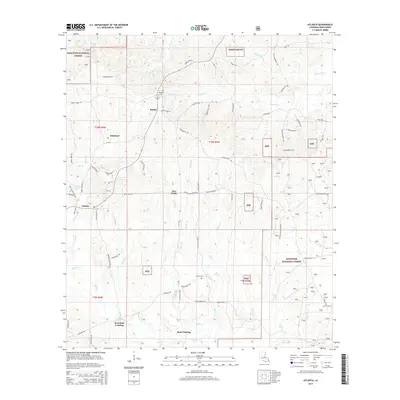
2015 Map of Atlanta
USGS Topo · Published 2015About this map
The settlement of Atlanta anchors this portion of Winn Parish, situated near the western edge of the Kisatchie National Forest. This 2015 survey reveals a landscape defined by its timberlands and a dense network of watercourses, including the westward-flowing Hill Bayou and Tatt Cr. The rural character of the region is emphasized by small, scattered communities like Sardis and Five Forks, alongside family-named landmarks such as Worsham Crossing and Beal Crossing. Local heritage is preserved at sites like Antioch Cem and Swindelly Cem, which offer significant points of interest for genealogical research in this part of Louisiana.
Find a feature on this map
75 named features on this map. Tap any name to fly to it.
Don’t see what you’re looking for? This feature index may not catch every label — zoom into the map to look around manually.
Map Details
Editions of this 2015 Atlanta Map
This is the sole edition of this map. No revisions or reprints were ever made.
Other maps of this area

1932 · Colfax NE
USGS Topo · 1:31,680

1932 · Colfax NW
USGS Topo · 1:31,680

1935 · Verda
USGS Topo · 1:31,680

1936 · Colfax
USGS Topo · 1:62,500

1937 · Montgomery
USGS Topo · 1:62,500

1942 · Montgomery
USGS Topo · 1:62,500

1945 · Montgomery
USGS Topo · 1:62,500

1949 · Calvin SE
USGS Topo · 1:31,680

1949 · Calvin NE
USGS Topo · 1:31,680

1950 · Winnfield
USGS Topo · 1:62,500