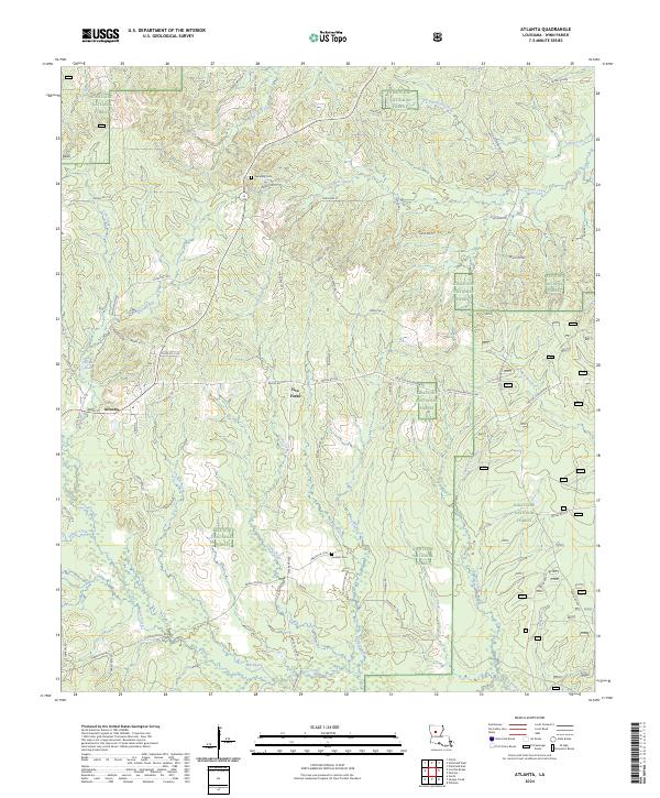
2024 Map of Atlanta
USGS Topo · Published 2024About this map
Atlanta serves as the primary hub in this corner of Winn Parish, situated at the junction of State Rte 3136 and School Rd. Much of the surrounding landscape is defined by the protected acreage of the Kisatchie National Forest, which blankets the terrain with a network of winding forestry and parish roads. The topography is deeply carved by numerous drainages, including Wolf Creek, Sulphur Creek, and the curiously named Port de Luce Creek in the north.
Find a feature on this map
80 named features on this map. Tap any name to fly to it.
Don’t see what you’re looking for? This feature index may not catch every label — zoom into the map to look around manually.
Map Details
Editions of this 2024 Atlanta Map
This is the sole edition of this map. No revisions or reprints were ever made.
Other maps of this area

1932 · Colfax NE
USGS Topo · 1:31,680

1932 · Colfax NW
USGS Topo · 1:31,680

1935 · Verda
USGS Topo · 1:31,680

1936 · Colfax
USGS Topo · 1:62,500

1937 · Montgomery
USGS Topo · 1:62,500

1942 · Montgomery
USGS Topo · 1:62,500

1945 · Montgomery
USGS Topo · 1:62,500

1949 · Calvin SE
USGS Topo · 1:31,680

1949 · Calvin NE
USGS Topo · 1:31,680

1950 · Winnfield
USGS Topo · 1:62,500