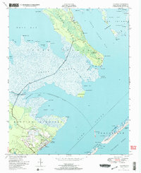
1949 Map of Atlantic
USGS Topo · Published 1972About this map
The coastal environment of Carteret County in the late 1940s is defined by the marshy expanse of Cedar Island, where the isolated communities of Roe and Lola represent the primary points of human habitation. This 1949 survey, compiled from 1946 aerial photography and 1948 field checks, highlights the local importance of fishing and maritime access via the Cedar Island Road, which threads between Cedar Island Bay and West Bay. Family history is preserved at the Gilgo Cem and Lupton Cem, while social life centered on the Roe School and Freewill Church. Further south, the town of Atlantic serves as a hub, positioned adjacent to the significant military and aviation infrastructure of the U S Reservation and Atlantic Field. The map also captures the intricate coastline of the Hunting Quarters and the narrow passage of Hog Island Narrows within Back Bay.
Find a feature on this map
75 named features on this map. Tap any name to fly to it.
Don’t see what you’re looking for? This feature index may not catch every label — zoom into the map to look around manually.
Map Details
Editions of this 1949 Atlantic Map
2 editions found
Other maps of this area

1948 · North Bay
USGS Topo · 1:24,000

1949 · Atlantic
USGS Topo · 1:24,000

1949 · Styron Bay
USGS Topo · 1:24,000

1949 · Point Of Marsh
USGS Topo · 1:24,000

1949 · Long Bay
USGS Topo · 1:24,000

1949 · Davis
USGS Topo · 1:24,000

1950 · Long Bay
USGS Topo · 1:24,000

1950 · North Bay
USGS Topo · 1:24,000

1950 · Point Of Marsh
USGS Topo · 1:24,000
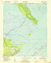
1951 · Atlantic
USGS Topo · 1:24,000