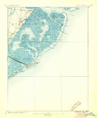
1894 Map of Atlantic City
USGS Topo · Published 1905About this map
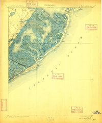
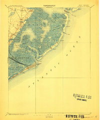
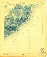
Atlantic City stands as a dense grid at the southern end of Absecon Beach, marking its early development as a premier coastal destination in the late nineteenth century. The town is remarkably connected to the mainland by a dense network of iron rails, including the Camden and Atlantic Railroad, Philadelphia & Atlantic City Railroad, and the West Jersey and Atlantic Railroad. These lines cut across the wetlands of Absecon Bay, illustrating the massive infrastructure required to support the burgeoning resort economy.
Find a feature on this map
56 named features on this map. Tap any name to fly to it.
Don’t see what you’re looking for? This feature index may not catch every label — zoom into the map to look around manually.
Map Details
Editions of this 1894 Atlantic City Map
8 editions found

Other maps of this area

1884 · Sea Isle
USGS Topo · 1:62,500

1887 · Atlantic City
USGS Topo · 1:62,500

1888 · Little Egg Harbor
USGS Topo · 1:62,500

1888 · Sea Isle
USGS Topo · 1:62,500

1888 · Long Beach
USGS Topo · 1:62,500

1890 · Great Egg Harbor
USGS Topo · 1:62,500

1890 · Mullica
USGS Topo · 1:62,500

1893 · Great Egg Harbor
USGS Topo · 1:62,500

1893 · Little Egg Harbor
USGS Topo · 1:62,500

1893 · Long Beach
USGS Topo · 1:62,500
Featured Places
- Egg Harbor Township, NJ
- Atlantic City, NJ
- Galloway Township, NJ
- Little Egg Harbor Township, NJ
- Pleasantville, NJ