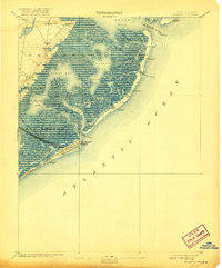
1894 Map of Atlantic City
USGS Topo · Published 1920About this map
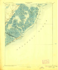
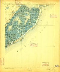
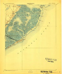
Atlantic City dominates the southern coastline of this late 19th-century coastal survey, showing the grid-iron street pattern of the growing resort before the major 20th-century expansions. Three major rail lines converge on the city, including the Philadelphia and Atlantic City Railroad and the West Jersey and Seashore Railroad, illustrating the intense transit connection that fueled the region's development. Northward, the landscape transitions into a complex network of marshes and waterways like Reeds Bay and Grassy Bay, shielded by the barrier islands of Brigantine Beach and Island Beach. Several Life Saving Stations and the prominent Absecon Light indicate the maritime hazards of the era. Inland, established mainland settlements such as Leeds Point, Smithville, and Oceanville sit along the edge of the Galloway marshes, serving as agricultural and trade hubs away from the burgeoning beachfront tourism.
Find a feature on this map
52 named features on this map. Tap any name to fly to it.
Don’t see what you’re looking for? This feature index may not catch every label — zoom into the map to look around manually.
Map Details
Editions of this 1894 Atlantic City Map
8 editions found

Other maps of this area

1884 · Sea Isle
USGS Topo · 1:62,500

1887 · Atlantic City
USGS Topo · 1:62,500

1888 · Little Egg Harbor
USGS Topo · 1:62,500

1888 · Sea Isle
USGS Topo · 1:62,500

1888 · Long Beach
USGS Topo · 1:62,500

1890 · Great Egg Harbor
USGS Topo · 1:62,500

1890 · Mullica
USGS Topo · 1:62,500

1893 · Great Egg Harbor
USGS Topo · 1:62,500

1893 · Little Egg Harbor
USGS Topo · 1:62,500

1893 · Long Beach
USGS Topo · 1:62,500
Featured Places
- Egg Harbor Township, NJ
- Atlantic City, NJ
- Galloway Township, NJ
- Little Egg Harbor Township, NJ
- Pleasantville, NJ