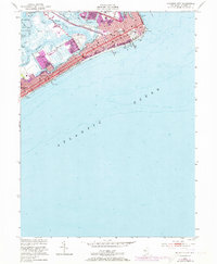
1952 Map of Atlantic City
USGS Topo · Published 1973About this map
Atlantic City and its world-famous shoreline are documented here at a mid-century peak of tourism and transportation. The map traces the legendary Boardwalk as it stretches past iconic landmarks including the Steel Pier, Steeplechase Pier, and the massive Convention Hall. Inland, the urban grid gives way to a complex network of coastal waterways like Beach Thorofare and Inside Thorofare, which separate the primary barrier island from the marshes leading to Egg Harbor and Lakes Bay.
Find a feature on this map
30 named features on this map. Tap any name to fly to it.
Don’t see what you’re looking for? This feature index may not catch every label — zoom into the map to look around manually.
Map Details
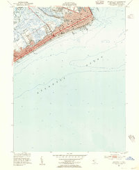
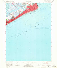
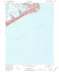
Editions of this 1952 Atlantic City Map
4 editions found
Other maps of this area

1884 · Sea Isle
USGS Topo · 1:62,500

1887 · Atlantic City
USGS Topo · 1:62,500

1888 · Sea Isle
USGS Topo · 1:62,500

1890 · Great Egg Harbor
USGS Topo · 1:62,500

1893 · Great Egg Harbor
USGS Topo · 1:62,500

1894 · Sea Isle
USGS Topo · 1:62,500

1894 · Atlantic City
USGS Topo · 1:62,500

1918 · Great Egg Harbor
USGS Topo · 1:62,500

1919 · Sea Isle
USGS Topo · 1:62,500

1940 · Atlantic City
USGS Topo · 1:62,500