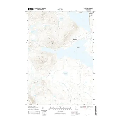
2014 Map of Attean Pond
USGS Topo · Published 2014About this map
Jackman serves as the primary gateway to this landscape of high peaks and interconnected waterways in western Maine. The town's local road network, including Mill Rd and Coburn Ave W, transitions quickly into a wilderness dominated by the massive presence of Sally Mtn and Attean Mtn. Between these summits, Attean Pond stretches across the center of the map, dotted with landmarks like Birch Island and providing access to the remote Attean Landing.
Find a feature on this map
33 named features on this map. Tap any name to fly to it.
Don’t see what you’re looking for? This feature index may not catch every label — zoom into the map to look around manually.
Map Details
Editions of this 2014 Attean Pond Map
This is the sole edition of this map. No revisions or reprints were ever made.
Other maps of this area

1922 · Long Pond
USGS Topo · 1:62,500

1923 · Attean
USGS Topo · 1:62,500

1924 · Long Pond
USGS Topo · 1:62,500

1925 · Pierce Pond
USGS Topo · 1:48,000

1925 · Attean
USGS Topo · 1:62,500

1927 · Pierce Pond
USGS Topo · 1:62,500

1928 · Spencer
USGS Topo · 1:48,000

1932 · Spencer
USGS Topo · 1:62,500

1944 · Long Pond
USGS Topo · 1:62,500

1944 · Pierce Pond
USGS Topo · 1:62,500