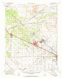
1961 Map of Atwater
USGS Topo · Published 1963About this map
Castle Air Force Base dominates the eastern landscape of this early 1960s survey, illustrating the significant military footprint in the Central Valley during the Cold War. The surrounding agricultural network is defined by a complex system of irrigation and drainage, including the El Capitan Canal, Amsterdam Canal, and Turlock Lake Canal. The Merced River meanders through the northern section, bordered by McConnell State Park and crossing points like Shaffer Bridge.
Find a feature on this map
88 named features on this map. Tap any name to fly to it.
Don’t see what you’re looking for? This feature index may not catch every label — zoom into the map to look around manually.
Map Details
Editions of this 1961 Atwater Map
2 editions found
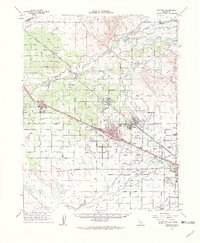
Other maps of this area

1893 · Sonora
USGS Topo · 1:125,000

1896 · Sonora
USGS Topo · 1:125,000

1897 · Sonora
USGS Topo · 1:125,000

1898 · Sonora
USGS Topo · 1:125,000

1913 · Dickenson
USGS Topo · 1:31,680

1914 · Merced
USGS Topo · 1:31,680

1916 · Three Tree Flat
USGS Topo · 1:31,680

1916 · Hopeton
USGS Topo · 1:31,680

1916 · Cressey
USGS Topo · 1:31,680

1916 · Montpellier
USGS Topo · 1:31,680