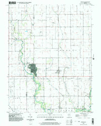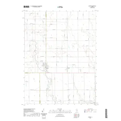
1983 Map of Atwood
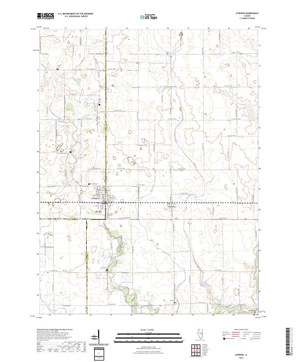
USGS Topo · Published 1983About this map
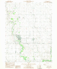
Atwood stands as the central hub of this East Central Illinois landscape, situated at the junction of Piatt and Douglas counties. This 1980s era is defined by a heavy intersection of transportation and utility infrastructure, where the Baltimore and Ohio rail line and various pipelines cut across the agricultural grid. The local topography is carved by the Kaskaskia River and its tributaries, including Lake Fork, Special Fork, and Dry Fork. For genealogists and local historians, the sheet is a dense record of rural community life, marking sites like Antioch Cem and Zion Ch Cem. Small aviation landmarks such as the Bragg Landing Strip and Cooch Landing Strip appear alongside civic spaces like Richey Park, reflecting the region's mid-century development patterns and the lasting influence of the river's drainage network.
Find a feature on this map
32 named features on this map. Tap any name to fly to it.
Don’t see what you’re looking for? This feature index may not catch every label — zoom into the map to look around manually.
Map Details
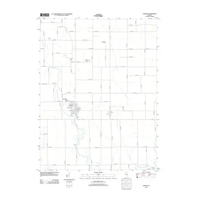
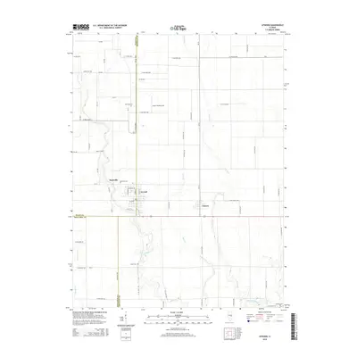
Editions of this 1983 Atwood Map
This is the sole edition of this map. No revisions or reprints were ever made.
Historical Maps of Garrett Through Time
7 maps found