
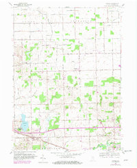
1959 Map of Atwood
USGS Topo · Published 1960About this map
Hoffman Lake serves as a prominent natural anchor in this northern Indiana landscape, where mid-century drainage systems like Dausman Ditch and Fleugel Ditch have significantly altered the local hydrology to support agriculture. The settlement at Atwood is defined by its position along the Pennsylvania railroad line and Lincoln Highway, while the smaller community of Clunette sits to the north. Local life in the late 1950s is mapped through its spiritual and civic centers, including Mt Tabor Ch, Stony Point Ch, and the Clunette Cem. The presence of a Drive-in Theater along the southern Highway 30 reflects the automotive culture of the era, contrasting with the ancient path of the Tippecanoe River winding through the southeast corner of the quadrangle.
Find a feature on this map
55 named features on this map. Tap any name to fly to it.
Don’t see what you’re looking for? This feature index may not catch every label — zoom into the map to look around manually.
Map Details
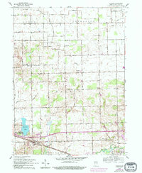
Editions of this 1959 Atwood Map
Other maps of this area

1950 · Leesburg
USGS Topo · 1:24,000

1951 · Milford
USGS Topo · 1:24,000

1953 · Fort Wayne
USGS Topo · 1:250,000

1953 · Chicago
USGS Topo · 1:250,000

1956 · Fort Wayne
USGS Topo · 1:250,000

1957 · Chicago
USGS Topo · 1:250,000

1957 · Warsaw
USGS Topo · 1:24,000

1958 · Nappanee West
USGS Topo · 1:24,000

1958 · Nappanee East
USGS Topo · 1:24,000

1958 · Bourbon
USGS Topo · 1:24,000