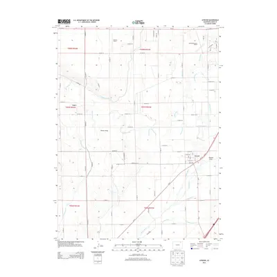
2013 Map of Atwood
USGS Topo · Published 2013About this map
Atwood and the surrounding Logan County plains are defined by an intricate network of irrigation infrastructure designed to harness the S Platte River. This 2013 survey reveals how the local agricultural economy relies on a complex system of waterways, including the N Sterling Canal, Springdale Ditch, and Schneider Ditch, which crisscross the landscape to support farms and homesteads. The terrain features notable low-lying areas such as Pawnee Valley and the riparian environment of Hadfield Island, situated where the river bends south of town. Transportation and regional access are anchored by the Sterling Municipal Airport in the northeast and Mertens Airport to the west, while the local road grid is strictly organized along section lines. This document captures the modern state of these rural settlements, tracing the path of Pawnee Creek as it winds toward its confluence with the Platte.
Find a feature on this map
64 named features on this map. Tap any name to fly to it.
Don’t see what you’re looking for? This feature index may not catch every label — zoom into the map to look around manually.
Map Details
Editions of this 2013 Atwood Map
This is the sole edition of this map. No revisions or reprints were ever made.
Other maps of this area
1951 · Willard
USGS Topo · 1:24,000
1951 · Messex
USGS Topo · 1:24,000
1951 · Sterling South
USGS Topo · 1:24,000
1951 · Sterling North
USGS Topo · 1:24,000
1951 · Wild Horse Lake
USGS Topo · 1:24,000
1951 · Atwood NE
USGS Topo · 1:24,000
1951 · Merino
USGS Topo · 1:24,000
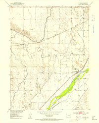
1951 · Atwood
USGS Topo · 1:24,000
1954 · Sterling
USGS Topo · 1:250,000
1958 · Sterling
USGS Topo · 1:250,000