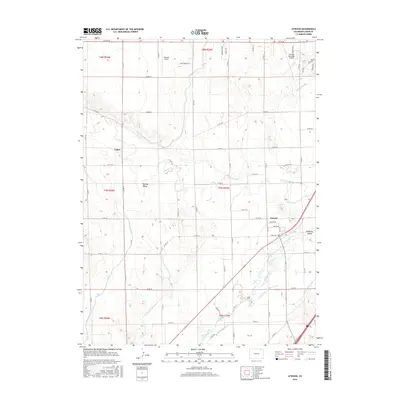
2016 Map of Atwood
USGS Topo · Published 2016About this map
The South Platte River corridor dominates this Logan County landscape, revealing an intricate network of irrigation vital to the high plains. The settlement of Atwood serves as a focal point near the river's edge, positioned among landforms like Hadfield Island. This survey illustrates the heavy reliance on water management through features such as the North Sterling Canal, Pawnee Ditch, and N Schneider Ditch, which crisscross the territory to support agricultural operations. To the north, the presence of the Sterling Municipal Airport and Mertens Airport indicates the region's connectivity. Smaller locales like Logan and Pawnee Valley sit amidst a grid of county roads, reflecting the organized settlement patterns and rural infrastructure that define this portion of the Colorado plains.
Find a feature on this map
61 named features on this map. Tap any name to fly to it.
Don’t see what you’re looking for? This feature index may not catch every label — zoom into the map to look around manually.
Map Details
Editions of this 2016 Atwood Map
This is the sole edition of this map. No revisions or reprints were ever made.
Other maps of this area
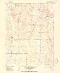
1951 · Willard
USGS Topo · 1:24,000
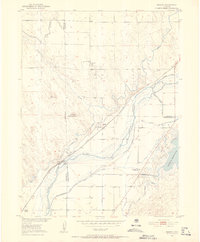
1951 · Messex
USGS Topo · 1:24,000
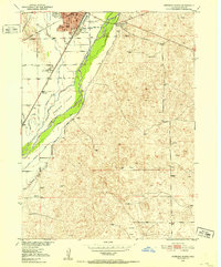
1951 · Sterling South
USGS Topo · 1:24,000
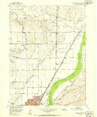
1951 · Sterling North
USGS Topo · 1:24,000
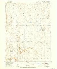
1951 · Wild Horse Lake
USGS Topo · 1:24,000
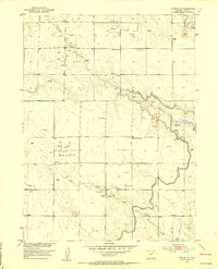
1951 · Atwood NE
USGS Topo · 1:24,000
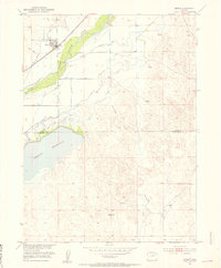
1951 · Merino
USGS Topo · 1:24,000
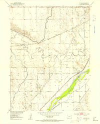
1951 · Atwood
USGS Topo · 1:24,000
1954 · Sterling
USGS Topo · 1:250,000
1958 · Sterling
USGS Topo · 1:250,000