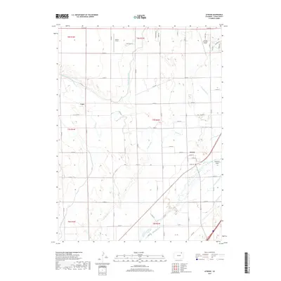
2019 Map of Atwood
USGS Topo · Published 2019About this map
The South Platte River carves a diagonal path through this Logan County landscape, creating a complex network of irrigation and water management essential to the region's agricultural character. This 2019 survey documents the intricate system of man-made waterways including the North Sterling Canal, Pawnee Ditch, and Schneider Ditch, which divert water to the surrounding plains. The settlement of Atwood sits near the riverbanks, while the locality of Logan is situated further west along the canal's path.
Find a feature on this map
57 named features on this map. Tap any name to fly to it.
Don’t see what you’re looking for? This feature index may not catch every label — zoom into the map to look around manually.
Map Details
Editions of this 2019 Atwood Map
This is the sole edition of this map. No revisions or reprints were ever made.
Other maps of this area
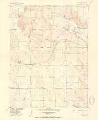
1951 · Willard
USGS Topo · 1:24,000
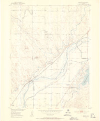
1951 · Messex
USGS Topo · 1:24,000
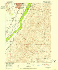
1951 · Sterling South
USGS Topo · 1:24,000
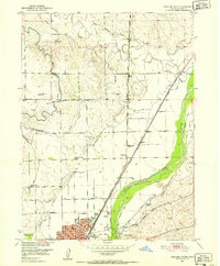
1951 · Sterling North
USGS Topo · 1:24,000
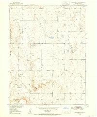
1951 · Wild Horse Lake
USGS Topo · 1:24,000
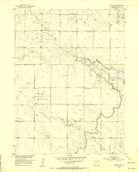
1951 · Atwood NE
USGS Topo · 1:24,000
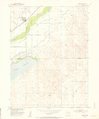
1951 · Merino
USGS Topo · 1:24,000
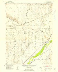
1951 · Atwood
USGS Topo · 1:24,000

1954 · Sterling
USGS Topo · 1:250,000

1958 · Sterling
USGS Topo · 1:250,000