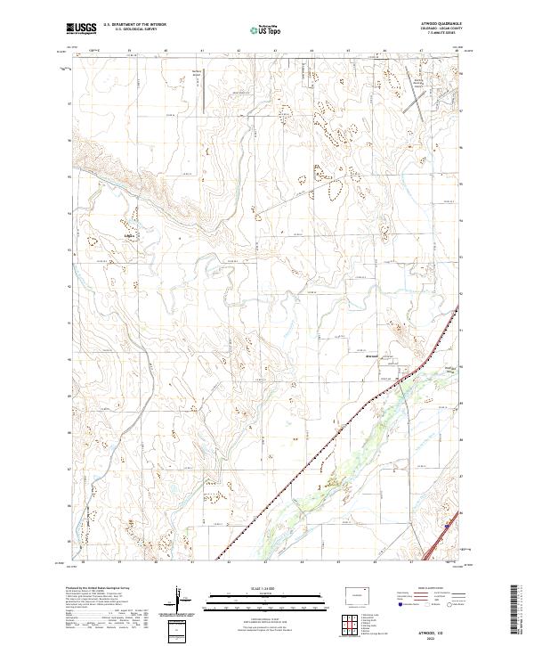
2022 Map of Atwood
USGS Topo · Published 2022About this map
Atwood stands as the primary hub of this eastern Colorado landscape, situated along the north bank of the South Platte River. The area's agricultural identity is defined by a complex network of irrigation infrastructure, including the North Sterling Canal, Pawnee Ditch, and Schneider Ditch, which redirect water across the plains to support local farming. This 2022 survey illustrates the transition from the river valley's bottomlands, featuring landmarks like Hadfield Island, to the higher, drier prairie to the north.
Find a feature on this map
57 named features on this map. Tap any name to fly to it.
Don’t see what you’re looking for? This feature index may not catch every label — zoom into the map to look around manually.
Map Details
Editions of this 2022 Atwood Map
This is the sole edition of this map. No revisions or reprints were ever made.
Other maps of this area

1951 · Willard
USGS Topo · 1:24,000

1951 · Messex
USGS Topo · 1:24,000

1951 · Sterling South
USGS Topo · 1:24,000

1951 · Sterling North
USGS Topo · 1:24,000

1951 · Wild Horse Lake
USGS Topo · 1:24,000

1951 · Atwood NE
USGS Topo · 1:24,000

1951 · Merino
USGS Topo · 1:24,000

1951 · Atwood
USGS Topo · 1:24,000

1954 · Sterling
USGS Topo · 1:250,000

1958 · Sterling
USGS Topo · 1:250,000