
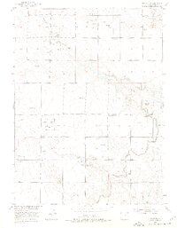
1951 Map of Atwood NE
USGS Topo · Published 1953About this map
Logan County’s high plains and agricultural valleys come into sharp focus in this 1951 survey, which documents a landscape transitioning between traditional ranching and mid-century industrial development. The local education system is anchored by the Mt Hope School and Pleasant Divide School, serving the scattered rural population. Water management defines the terrain here, as the North Sterling Canal and Pawnee Ditch trace the contours of the land to support irrigation. Evidence of the region’s natural resource economy is visible through numerous Oil Wells and several Gravel Pits along the drainage basins. Notable watercourses like Springdale Creek and Sand Creek flow through the quadrangle, with a prominent Levee providing flood protection. In the southeastern corner, a Drive-in Theater reflects the post-war shift toward roadside entertainment in rural Colorado.
Find a feature on this map
11 named features on this map. Tap any name to fly to it.
Don’t see what you’re looking for? This feature index may not catch every label — zoom into the map to look around manually.
Map Details
Editions of this 1951 Atwood NE Map
2 editions found
Other maps of this area

1951 · Willard
USGS Topo · 1:24,000

1951 · Sterling South
USGS Topo · 1:24,000

1951 · Sterling North
USGS Topo · 1:24,000

1951 · Wild Horse Lake
USGS Topo · 1:24,000

1951 · Atwood
USGS Topo · 1:24,000

1952 · Padroni
USGS Topo · 1:24,000

1954 · Sterling
USGS Topo · 1:250,000

1958 · Sterling
USGS Topo · 1:250,000
1978 · North Sterling Reservoir
USGS Topo · 1:24,000
1978 · Westplains
USGS Topo · 1:24,000