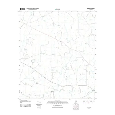
2012 Map of Auburn
USGS Topo · Published 2012About this map
Auburn and the surrounding Pike County countryside are defined by a complex network of waterways, most notably the winding Tangipahoa River and the E Fork Amite River. This 2012 survey illustrates a landscape deeply rooted in family history and early industry, evidenced by the high concentration of small burial grounds scattered across the terrain. Genealogists can find the locations of the Terrell Cem, Wilson Cem, and Johnson Chapel Cem, which anchor the rural community.
Find a feature on this map
95 named features on this map. Tap any name to fly to it.
Don’t see what you’re looking for? This feature index may not catch every label — zoom into the map to look around manually.
Map Details
Editions of this 2012 Auburn Map
This is the sole edition of this map. No revisions or reprints were ever made.
Other maps of this area

1953 · Natchez
USGS Topo · 1:250,000

1956 · Natchez
USGS Topo · 1:250,000

1959 · Natchez
USGS Topo · 1:250,000

1972 · West Lincoln
USGS Topo · 1:24,000

1972 · Smithdale
USGS Topo · 1:24,000

1972 · Little Springs
USGS Topo · 1:24,000

1972 · Auburn
USGS Topo · 1:24,000

1972 · Bogue Chitto
USGS Topo · 1:24,000

1972 · McComb South
USGS Topo · 1:24,000

1972 · Peoria
USGS Topo · 1:24,000