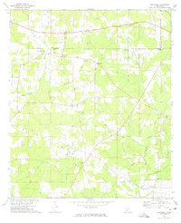
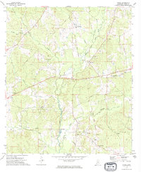
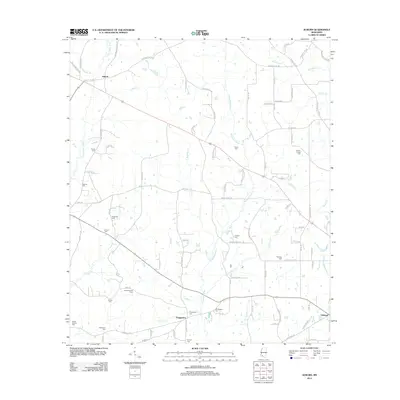
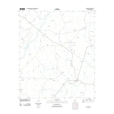
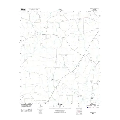
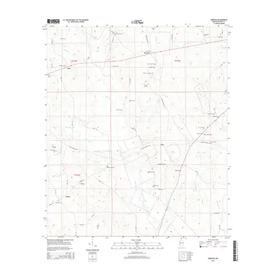
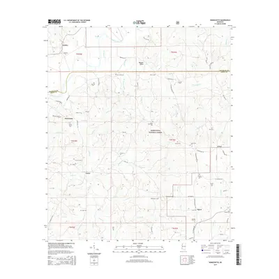
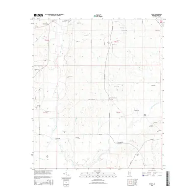
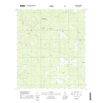
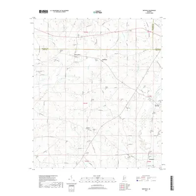
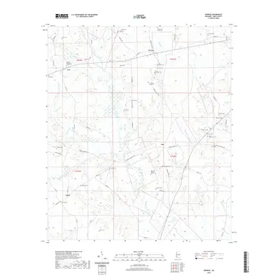
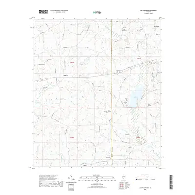
1972 Map of Smithdale
USGS Topo · Published 1974About this map
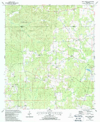
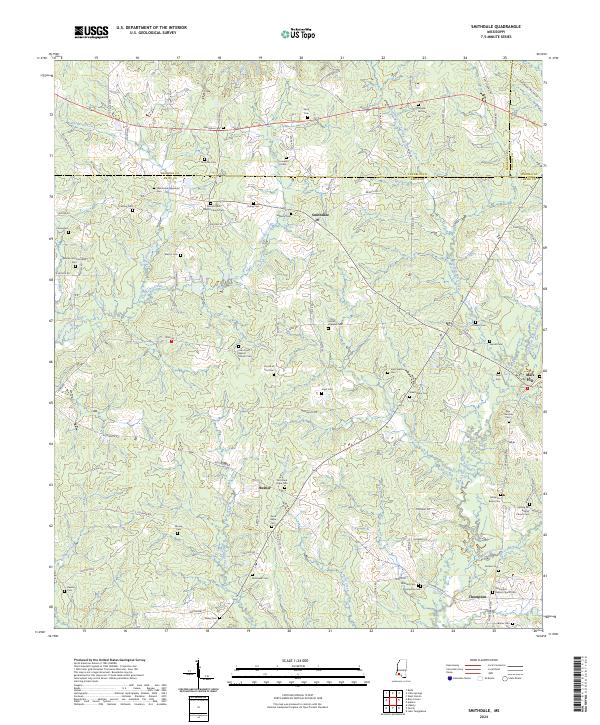
The Indian Treaty Boundary cuts diagonally across this landscape, marking a historical division in the terrain near Smithdale. During the early 1970s, this area of southwest Mississippi was defined by rural community life and an economy tied to both the land and the subsurface. Small settlements like Mount Olive, Hustler, and Thompson are scattered between the Amite River and the Amite River East Fork.
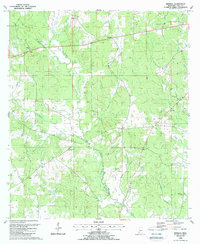
Find a feature on this map
41 named features on this map. Tap any name to fly to it.
Don’t see what you’re looking for? This feature index may not catch every label — zoom into the map to look around manually.
Map Details
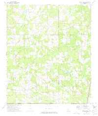
Editions of this 1972 Smithdale Map
This is the sole edition of this map. No revisions or reprints were ever made.
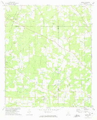
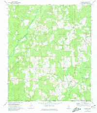
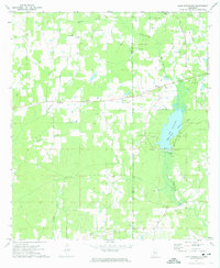
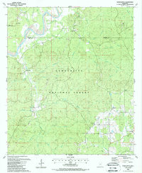
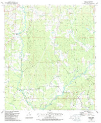
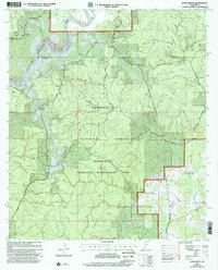
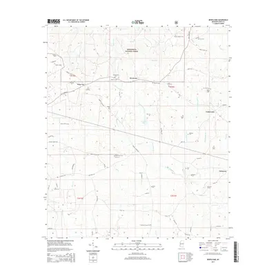
Historical Maps of Smithdale Through Time
67 maps found
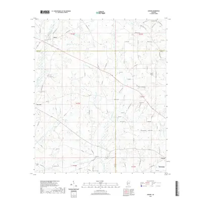
1972 Auburn
Amite County, MS
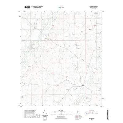
1972 Gillsburg
Amite County, MS
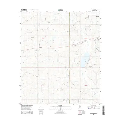
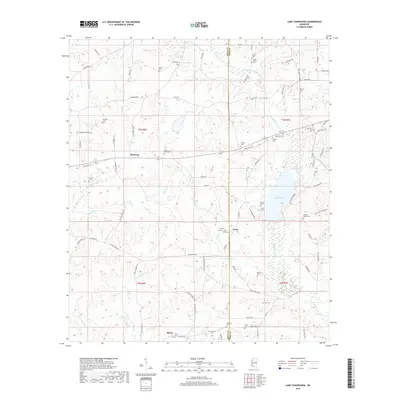
1972 Lake Tangipahoa
Amite County, MS
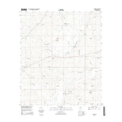
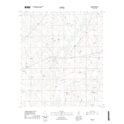
1972 Peoria
Amite County, MS
1972 Smithdale
Amite County, MS
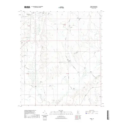
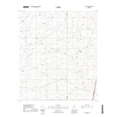
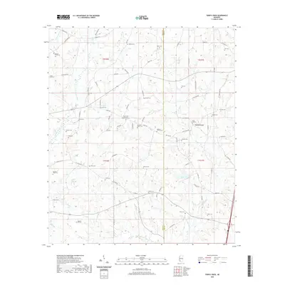
1972 Terrys Creek
Amite County, MS
1988 Berwick
Amite County, MS
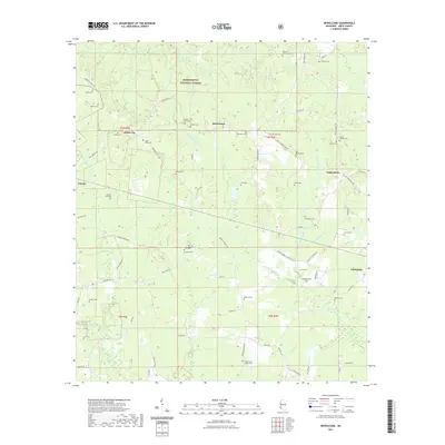
1988 Bewelcome
Amite County, MS
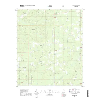
1988 Busy Corner
Amite County, MS
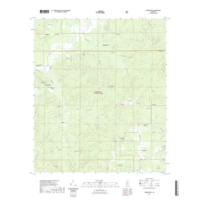
1988 Homochitto
Amite County, MS
1988 Street
Amite County, MS
2000 Homochitto
Amite County, MS
2012 Auburn
Amite County, MS
2012 Berwick
Amite County, MS
2012 Bewelcome
Amite County, MS
2012 Busy Corner
Amite County, MS
2012 Gillsburg
Amite County, MS
2012 Homochitto
Amite County, MS
2012 Lake Tangipahoa
Amite County, MS
2012 Peoria
Amite County, MS
2012 Smithdale
Amite County, MS
2012 Street
Amite County, MS
2012 Terrys Creek
Amite County, MS
2015 Auburn
Amite County, MS
2015 Berwick
Amite County, MS
2015 Bewelcome
Amite County, MS
2015 Busy Corner
Amite County, MS
2015 Gillsburg
Amite County, MS
2015 Homochitto
Amite County, MS
2015 Lake Tangipahoa
Amite County, MS
2015 Peoria
Amite County, MS
2015 Smithdale
Amite County, MS
2015 Street
Amite County, MS
2015 Terrys Creek
Amite County, MS
2018 Auburn
Amite County, MS
2018 Berwick
Amite County, MS
2018 Bewelcome
Amite County, MS
2018 Busy Corner
Amite County, MS
2018 Gillsburg
Amite County, MS
2018 Homochitto
Amite County, MS
2018 Lake Tangipahoa
Amite County, MS
2018 Peoria
Amite County, MS
2018 Smithdale
Amite County, MS
2018 Street
Amite County, MS
2018 Terrys Creek
Amite County, MS
2020 Auburn
Amite County, MS
2020 Berwick
Amite County, MS
2020 Gillsburg
Amite County, MS
2020 Lake Tangipahoa
Amite County, MS
2020 Peoria
Amite County, MS
2020 Smithdale
Amite County, MS
2020 Street
Amite County, MS
2020 Terrys Creek
Amite County, MS
2021 Bewelcome
Amite County, MS
2021 Busy Corner
Amite County, MS
2021 Homochitto
Amite County, MS
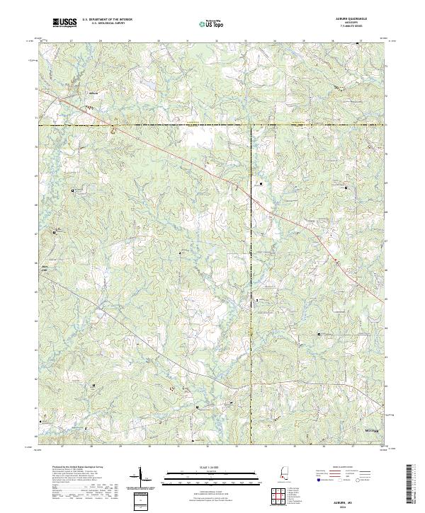
2024 Auburn
Amite County, MS
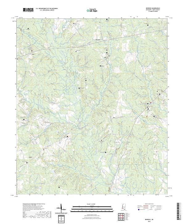
2024 Berwick
Amite County, MS
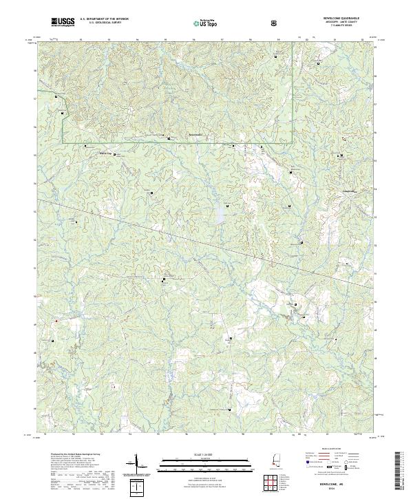
2024 Bewelcome
Amite County, MS
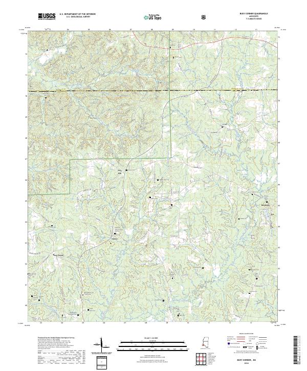
2024 Busy Corner
Amite County, MS
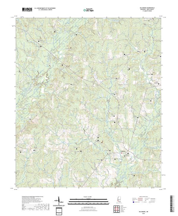
2024 Gillsburg
Amite County, MS
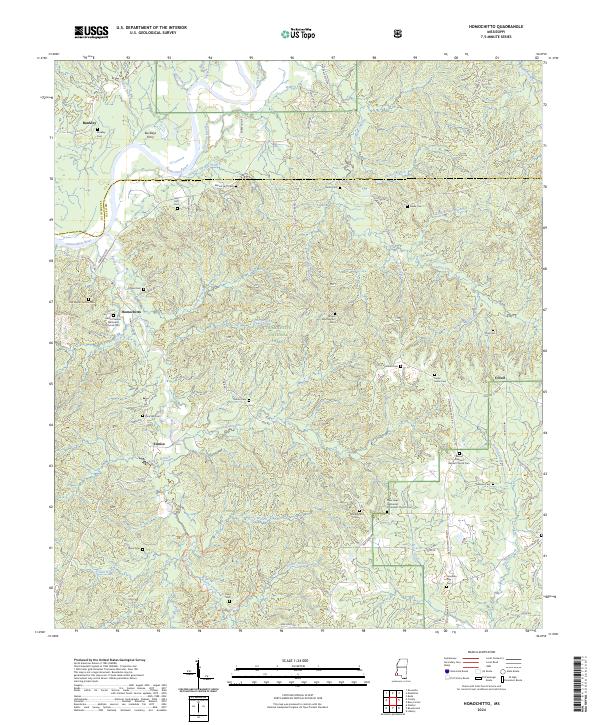
2024 Homochitto
Amite County, MS
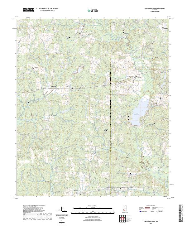
2024 Lake Tangipahoa
Amite County, MS
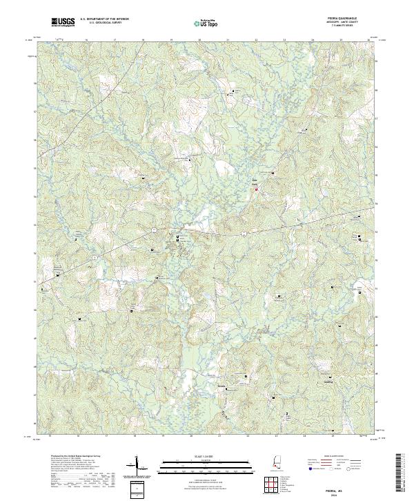
2024 Peoria
Amite County, MS
2024 Smithdale
Amite County, MS
2024 Street
Amite County, MS
2024 Terrys Creek
Amite County, MS