
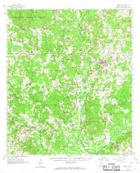
1961 Map of Liberty
USGS Topo · Published 1962About this map
The town of Liberty serves as the focal point of this 1961 survey, situated east of the Homochitto National Forest. The landscape is defined by the winding paths of the West Fork Amite River and East Fork Amite River, which converge to form the Amite River in the southern portion of the quadrangle. Small, historically significant settlements like Bewelcome, Compromise, and Enterprise are scattered throughout the countryside, often centered around local institutions such as Antioch Ch and Central High Sch.
Find a feature on this map
107 named features on this map. Tap any name to fly to it.
Don’t see what you’re looking for? This feature index may not catch every label — zoom into the map to look around manually.
Map Details
Editions of this 1961 Liberty Map
3 editions found
Other maps of this area

1906 · Bayou Sara
USGS Topo · 1:125,000

1941 · Woodland
USGS Topo · 1:31,680

1941 · Norwood
USGS Topo · 1:31,680

1941 · Chipola
USGS Topo · 1:31,680

1942 · Liverpool
USGS Topo · 1:31,680

1945 · Norwood
USGS Topo · 1:31,680

1945 · Chipola
USGS Topo · 1:31,680

1953 · Natchez
USGS Topo · 1:250,000

1954 · Baton Rouge
USGS Topo · 1:250,000

1956 · Natchez
USGS Topo · 1:250,000