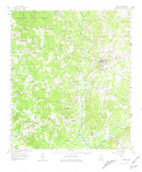
1961 Map of Liberty
USGS Topo · Published 1981About this map
Liberty serves as the focal point of this Amite County survey, situated at the confluence of several rural routes and Carrolls Branch. The town is surrounded by a dense network of family-named landmarks and country churches that define the mid-century social landscape. To the west, the Homochitto National Forest covers the uplands, while the West Fork Amite River and Amite River drain the central and eastern corridors.
Find a feature on this map
106 named features on this map. Tap any name to fly to it.
Don’t see what you’re looking for? This feature index may not catch every label — zoom into the map to look around manually.
Map Details
Editions of this 1961 Liberty Map
3 editions found

Other maps of this area

1906 · Bayou Sara
USGS Topo · 1:125,000

1941 · Woodland
USGS Topo · 1:31,680

1941 · Norwood
USGS Topo · 1:31,680

1941 · Chipola
USGS Topo · 1:31,680

1942 · Liverpool
USGS Topo · 1:31,680

1945 · Norwood
USGS Topo · 1:31,680

1945 · Chipola
USGS Topo · 1:31,680

1953 · Natchez
USGS Topo · 1:250,000

1954 · Baton Rouge
USGS Topo · 1:250,000

1956 · Natchez
USGS Topo · 1:250,000