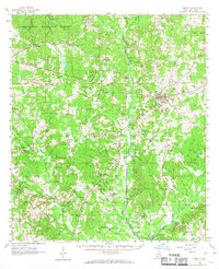
1961 Map of Liberty
USGS Topo · Published 1968About this map
The West Fork Amite River and East Fork Amite River define the agricultural and timber landscape of Amite County in the early 1960s. At the center of the sheet, the county seat of Liberty serves as the primary hub, surrounded by a dense network of family-named cemeteries and rural congregations such as Graves Chapel, St Marys Ch, and Oak Grove Ch. To the northwest, the Homochitto National Forest preserves the woodland character of the region, while small settlements like Bewelcome, Compromise, and Berwick are connected by a web of unimproved roads and light-duty routes. The map records numerous Gravel Pits concentrated near Liberty and Enterprise, indicating the local industry of the period. Genealogists will find particular value in the many isolated burial grounds, including the Thompson Cem, McGehee Cem, and Lea Cem, which mark the ancestral footprint of the surrounding farms.
Find a feature on this map
88 named features on this map. Tap any name to fly to it.
Don’t see what you’re looking for? This feature index may not catch every label — zoom into the map to look around manually.
Map Details
Editions of this 1961 Liberty Map
3 editions found

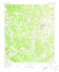
Other maps of this area

1906 · Bayou Sara
USGS Topo · 1:125,000

1941 · Woodland
USGS Topo · 1:31,680

1941 · Norwood
USGS Topo · 1:31,680

1941 · Chipola
USGS Topo · 1:31,680

1942 · Liverpool
USGS Topo · 1:31,680

1945 · Norwood
USGS Topo · 1:31,680

1945 · Chipola
USGS Topo · 1:31,680

1953 · Natchez
USGS Topo · 1:250,000

1954 · Baton Rouge
USGS Topo · 1:250,000

1956 · Natchez
USGS Topo · 1:250,000